
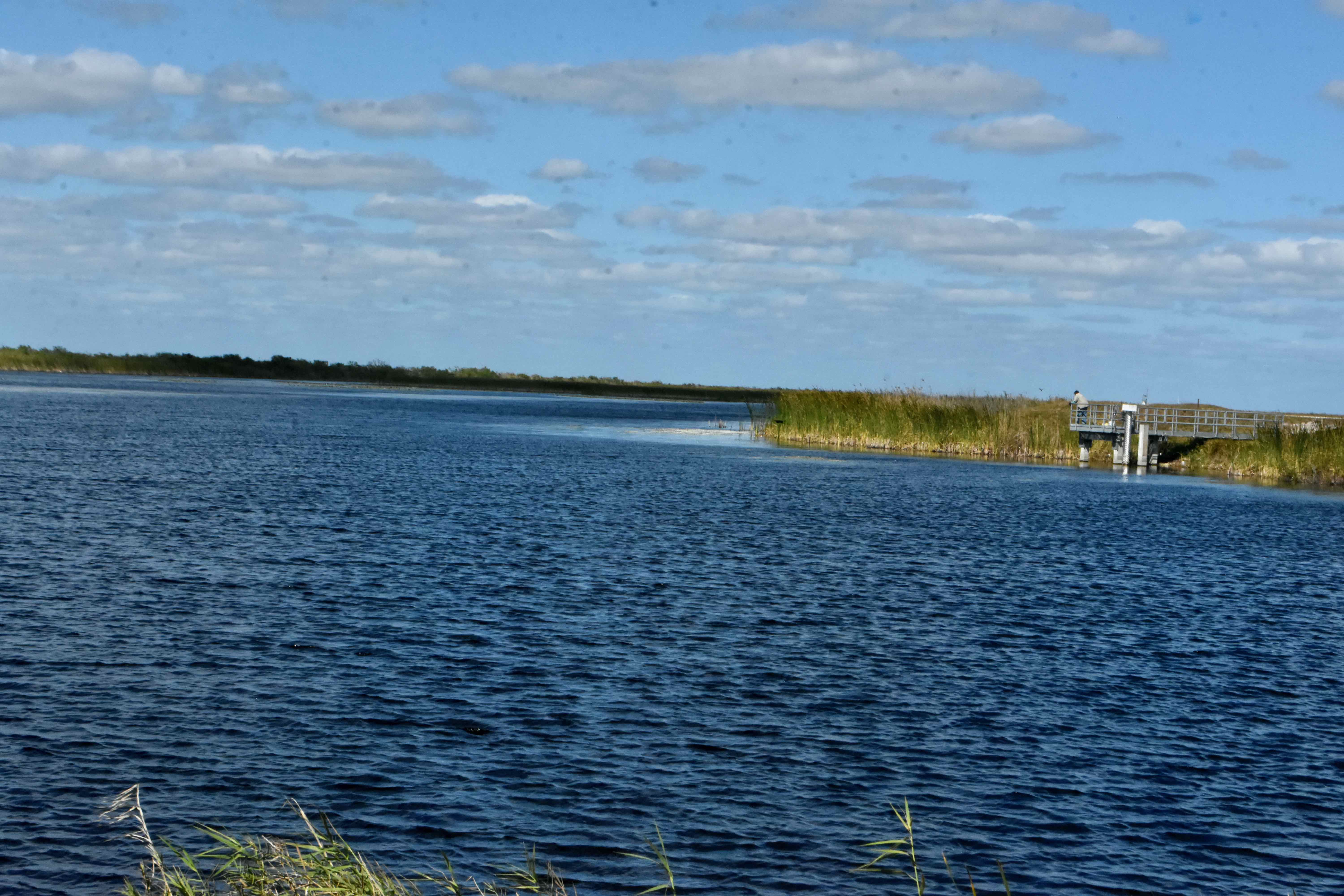
The first thing that grabs your attention at the Loxahatchee Road (aka Lox Road aka Hillsboro) entrance to the Loxahatchee National Wildlife Refuge is the water — the L40 Canal has become lake-like, broad and open. There is a spillway on the right that allows water to flow into the Hillsboro Canal, which was dug more than a century ago to transport people and goods between the Everglades and the coast. It was also a first step in the effort to drain the interior for homes and farms. On the right side of the photo you can see a fisherman doing his thing on a short fishing pier. Just beyond him to the right lies the Perimeter Levee Trail. The levee itself becomes a huge concrete dam-like structure extending as far as the eye can see. The ambitious can walk or bike the distance to the Lee Road boat ramp and beyond. The trail continues due west, and is a popular spot for an evening stroll. The amenities here are primitive — the restroom is a single porto-potty and there is no drinking water. There are boat rentals through a vendor (come early in the day). The Everglades and Francis S. Taylor Wildlife Management Area sits immediately to the south and a vendor there offers airboat tours of the WMA. The WMA includes water conservation areas 2 and 3, and stretches all the way to Shark Valley and Everglades National Park in Miami-Dade County. Same entrance fee applies, collected on an honor system. The entrance is open 24 hours. More on the Loxahatchee Road entrance here.
NEXT STOP: A Familiar Look
RETURN TO THE MAIN PAGE
NEXT STOP: A Familiar Look
RETURN TO THE MAIN PAGE