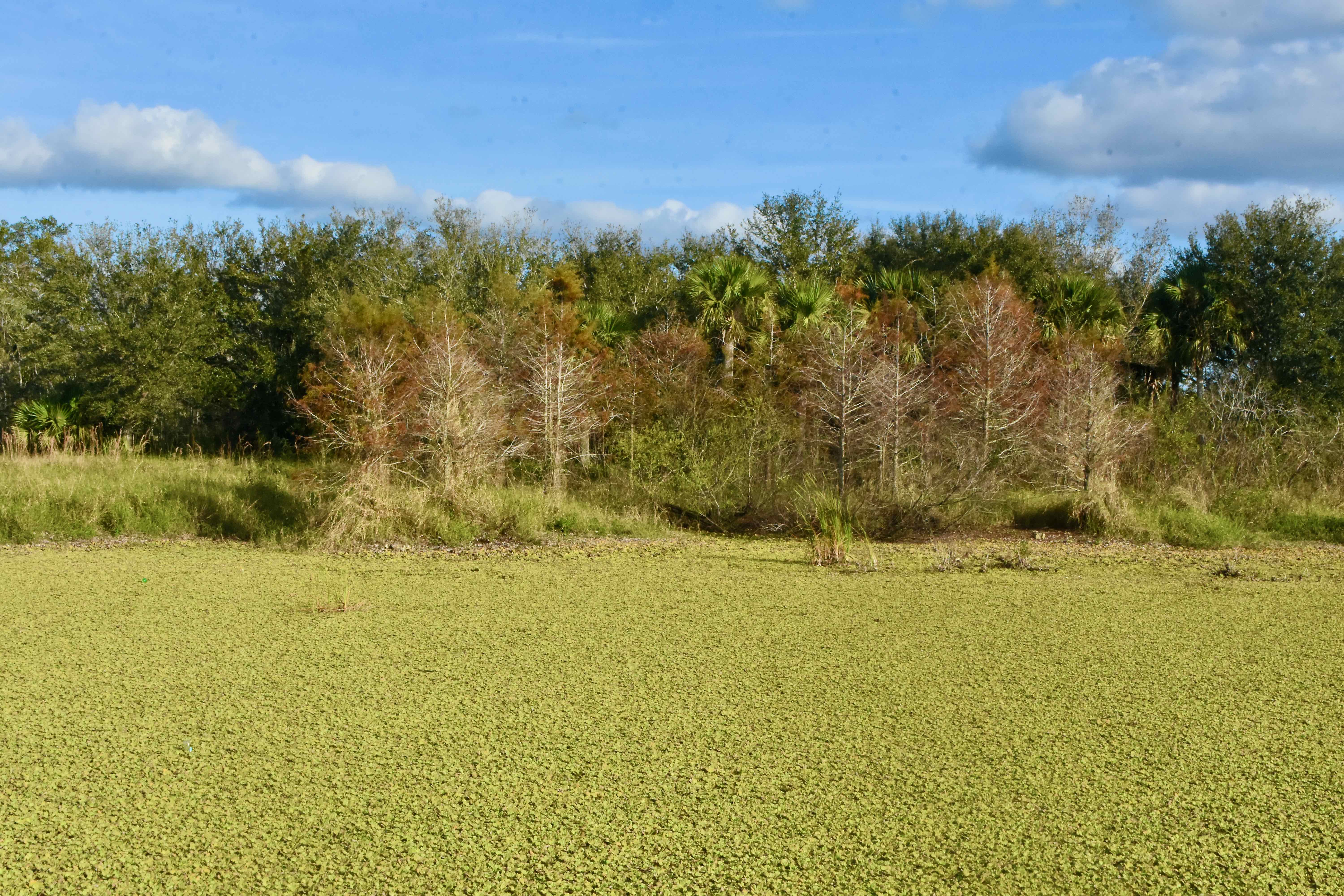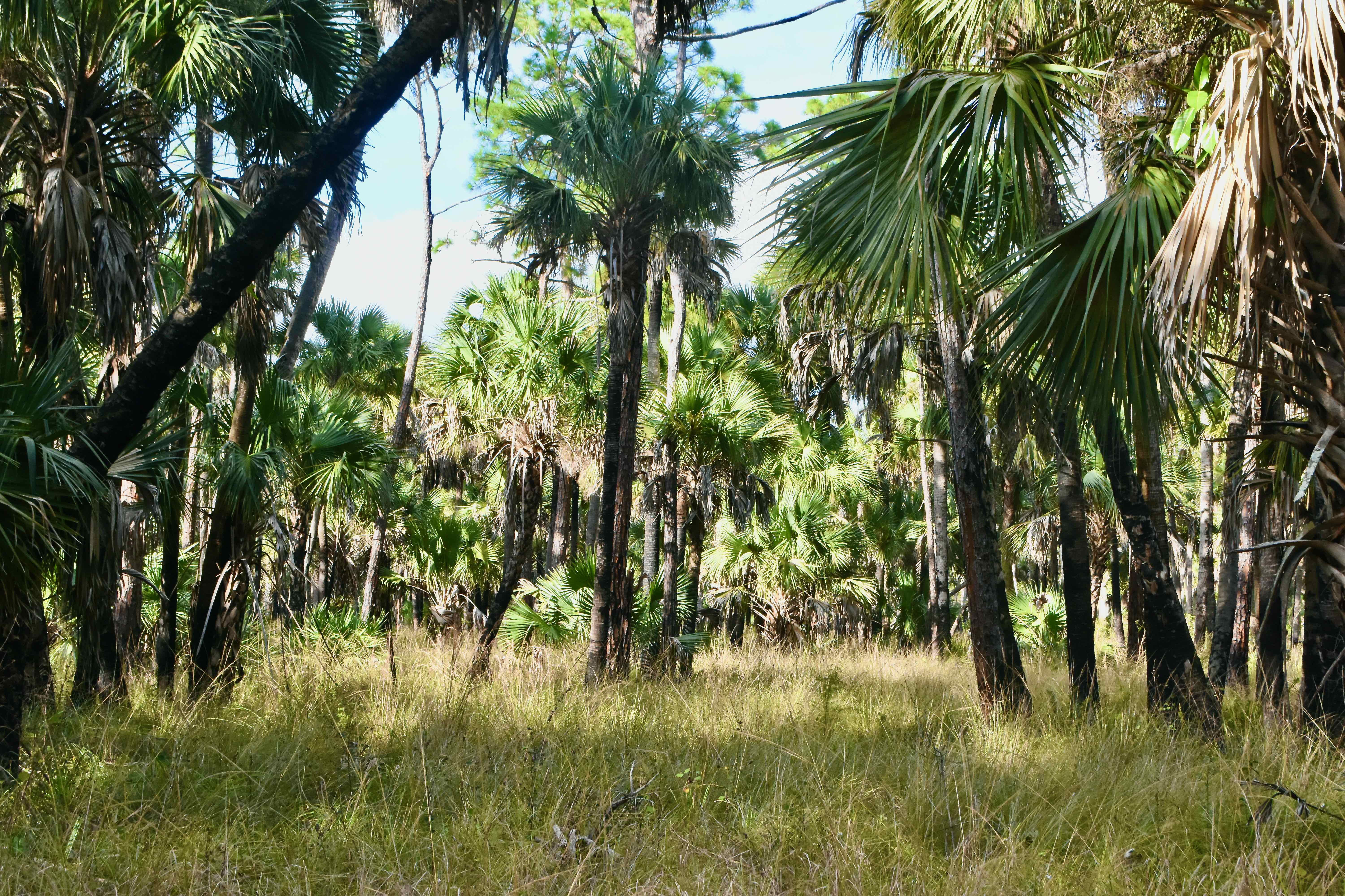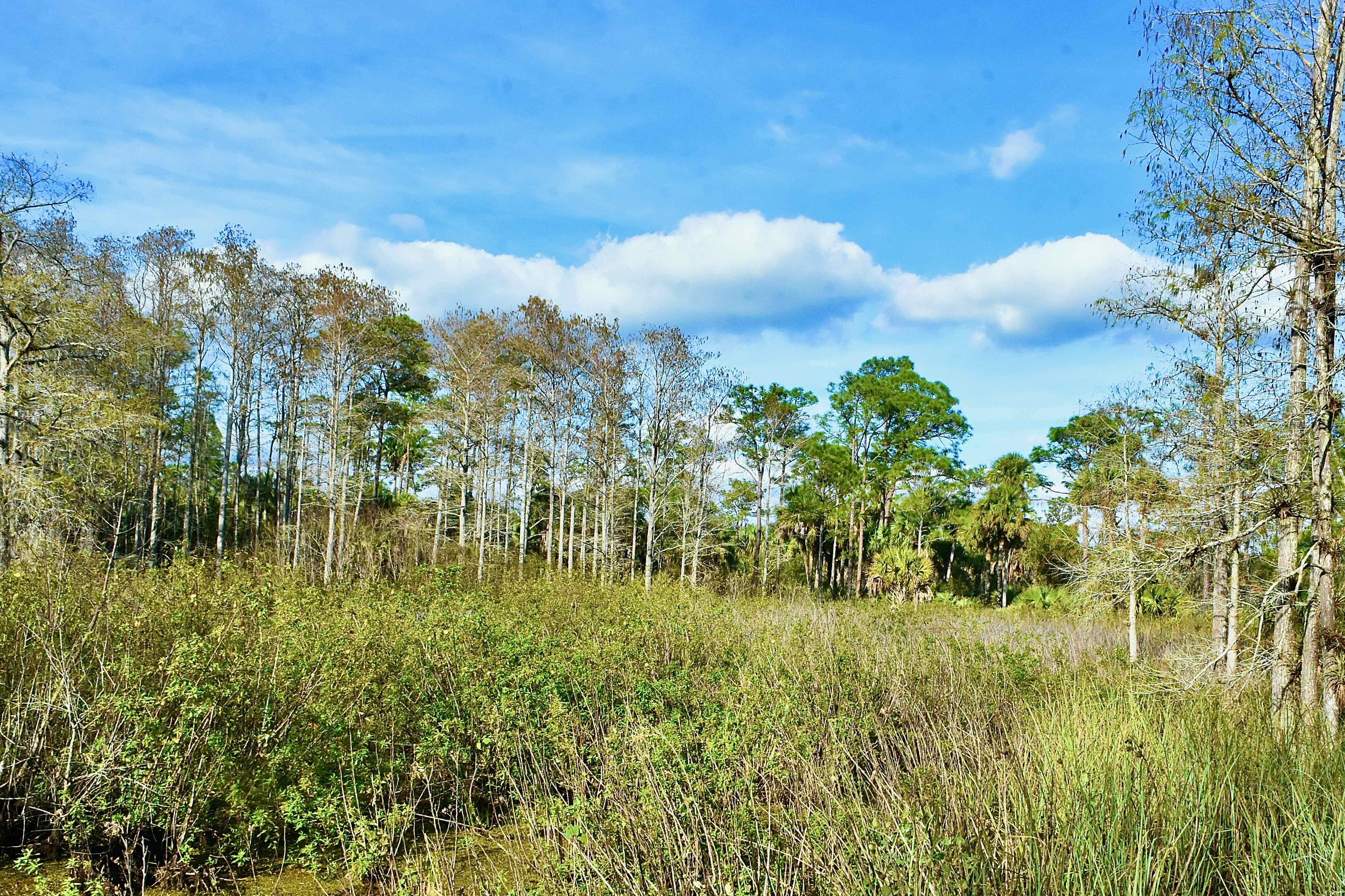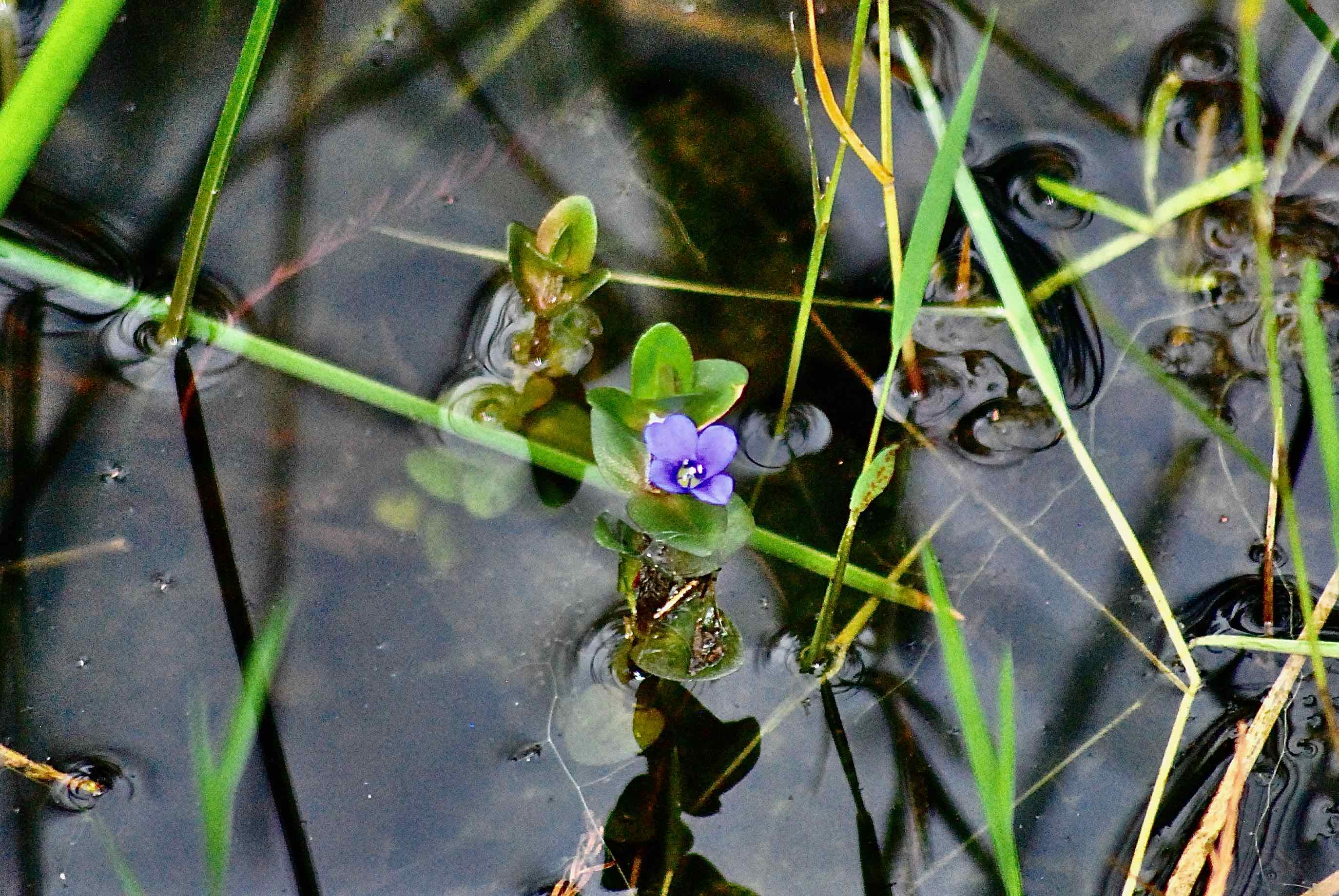
Overview: Water defines the 21,875 acres that are formally known as the John G. and Susan H. Dupuis Jr. Wildlife and Environmental Area. Dupuis features eight distinct plant communities, or habitats, and all eight are inundated a good portion of the year. Still, we've been in here in the wet season as well as the dry and found it a fairly easy place to get around.
In many ways, Dupuis WEA is an outdoorsman's paradise. It has 35 miles of hiking and biking trails, including the Ocean to Lake Trail and the Florida Trail, plus four loop trails. Prefer to explore from the back of a horse? Dupuis features 40 miles of equestrian trails for you. There's hunting, fishing and camping as well.
History: Human use of the land that is now Dupuis goes back to 500 BC, perhaps to 1,000 BC, according to archeological evidence uncovered on the site in the form of a circular ditch dug some time between 1,000 BC and 200 AD. There are Indian mounds and evidence of at least one permanent village established by ancient Floridians. In more "modern" times, Dupuis was part of The Hungryland, a refuge for Seminoles after their defeat at the Battle of Loxahatchee in 1838, so called because of the lack of game and edible plants in the area.
In 1902, the Southern States Land and Timber Co. bought 2 million acres in the vicinity of Lake Okeechobee, including Dupuis. Over the next 50 years, the land would be sold off to various interests and finally into the hands of John G. and Susan H. Dupuis Jr. and their White Belt Dairy Farm in 1955. John Dupuis died in 1984; two years later, the South Florida Water Management District bought the land through the state's Save Our Rivers program. The land was designated as the Dupuis State Forest until 1996 when the state changed it to the Dupuis Wildlife and Environmental Area.
One key event happened in 1915: the construction of the St. Lucie Canal just to the north, which significantly altered the hydrology of the area by cutting off water flow from the north. Construction of the L8 canal along southern boundary of the property severed ties with Everglades. The two major canals, plus a network of ditches made the land suitable for grazing livestock; as many as 3,000 head of cattle and 2,000 sheep once pastured in Dupuis, but less so for native plants and animals. One of the major goals of land managers after the state bought Dupuis was to restore natural water flow to the extent possible.
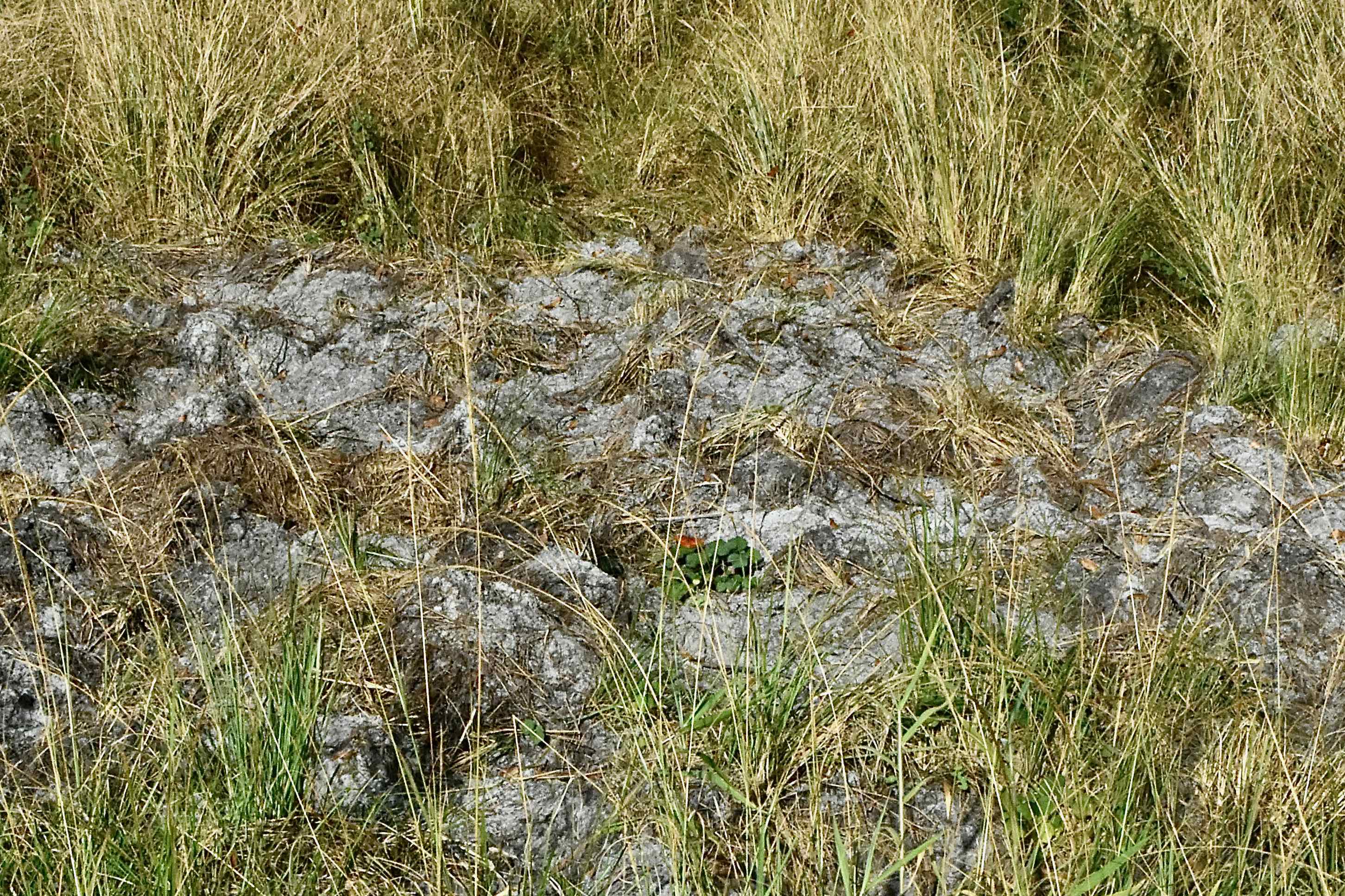
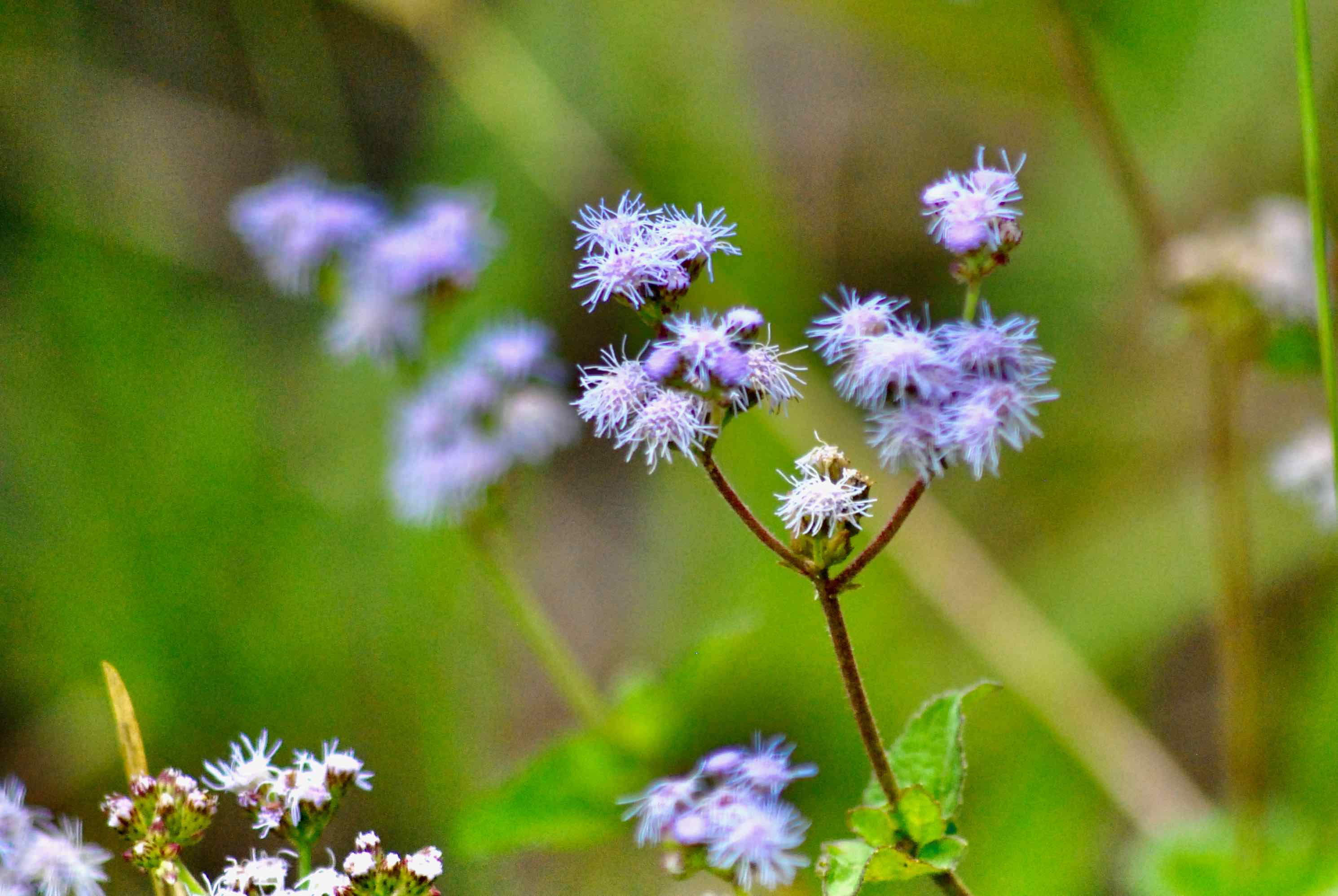
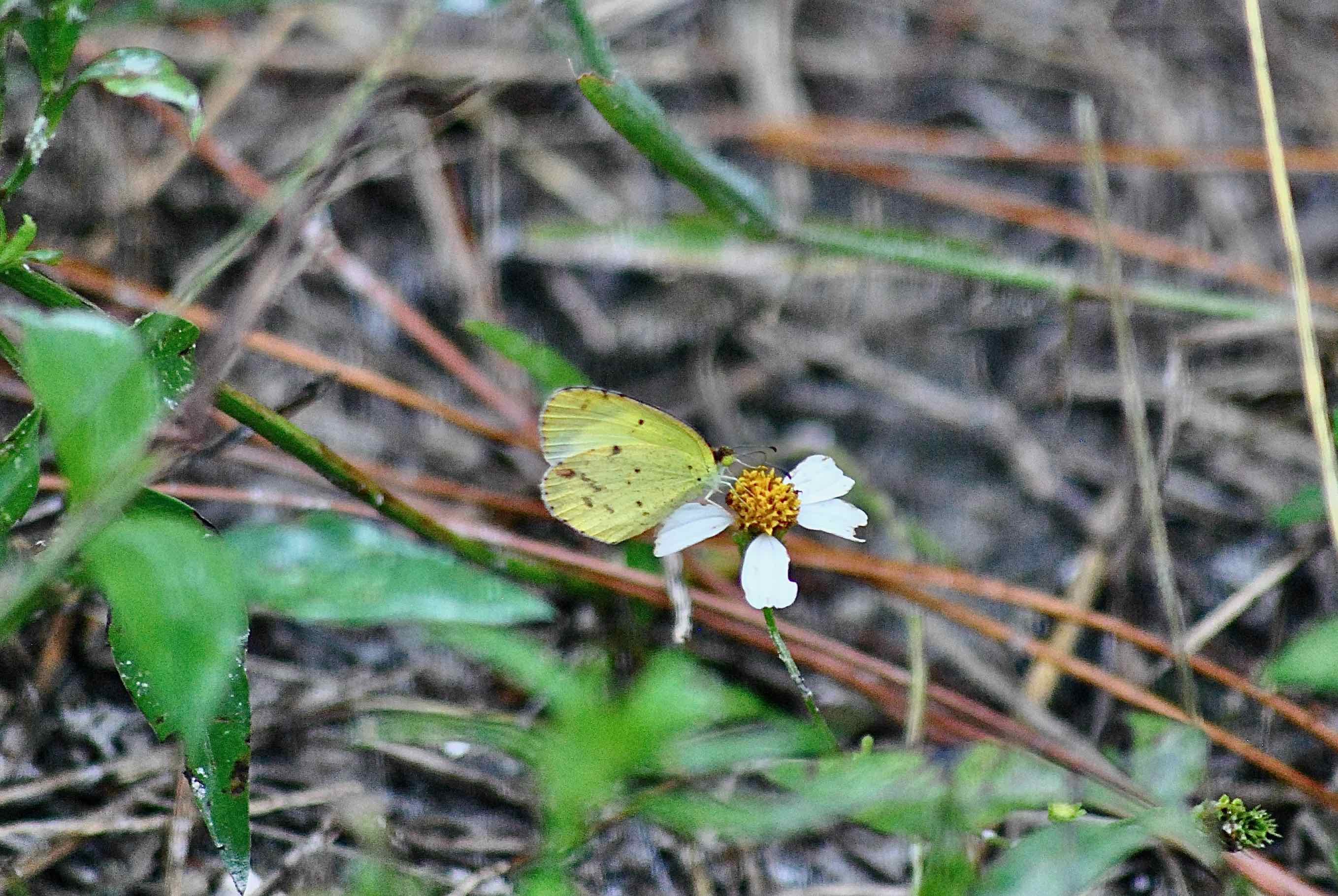
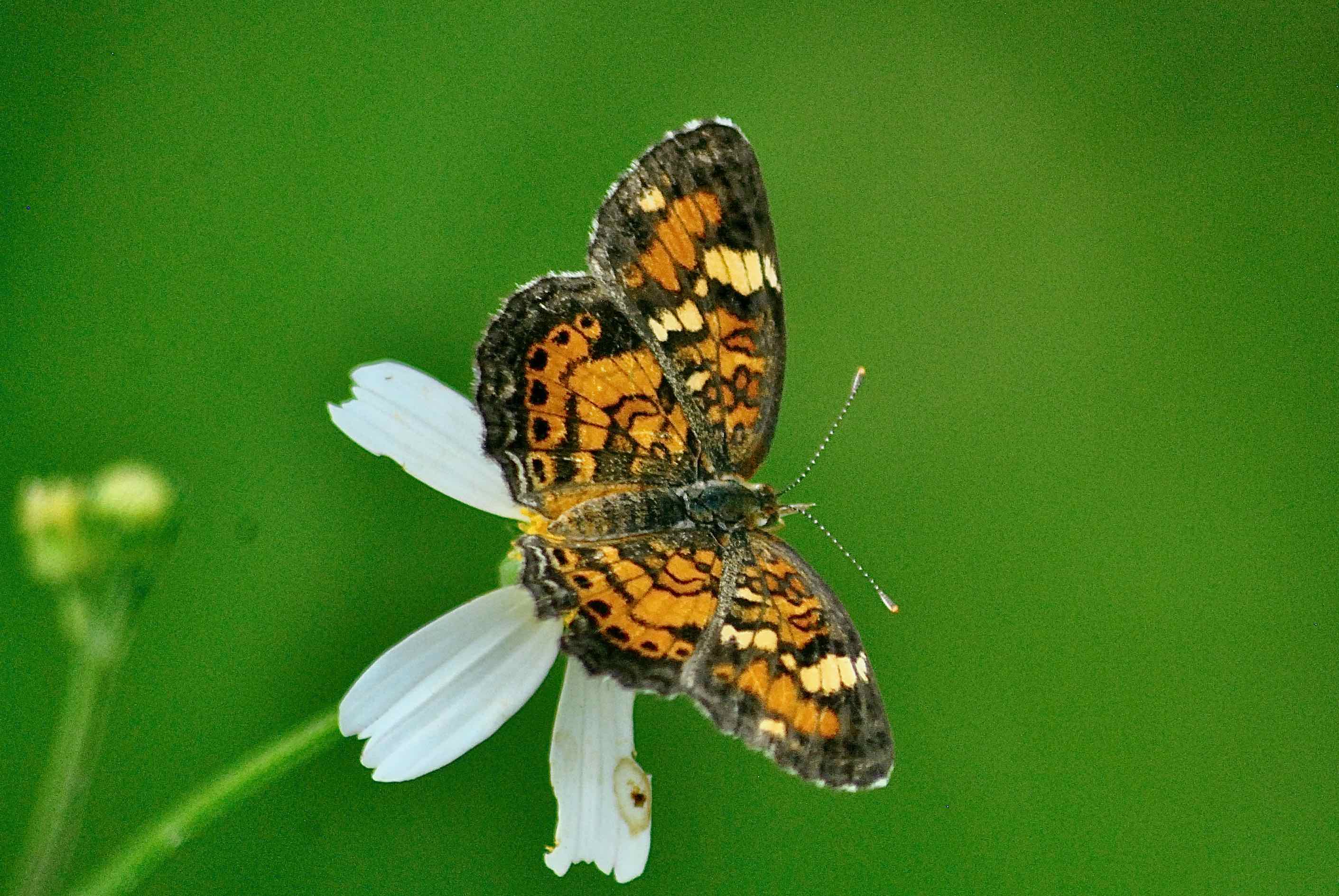
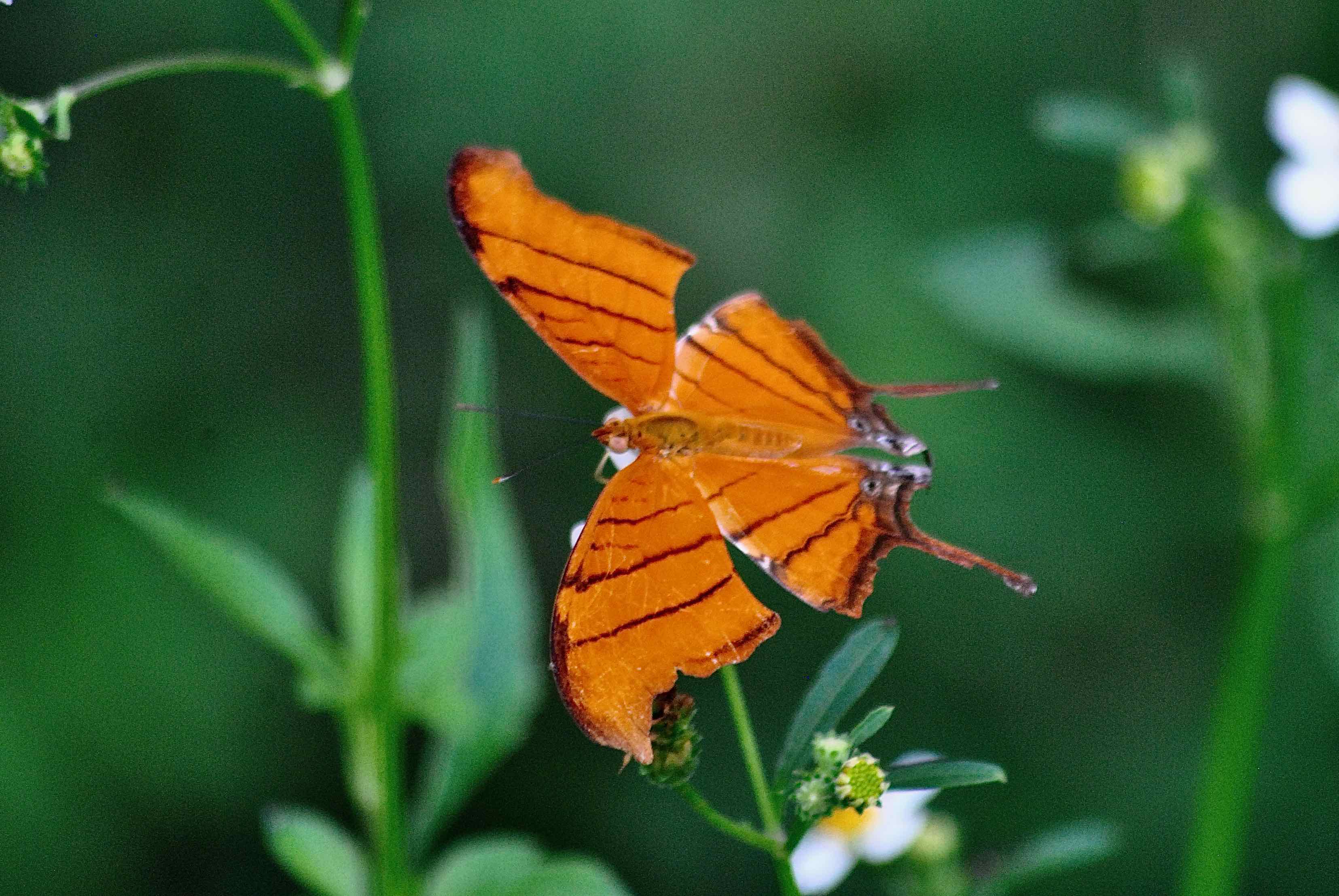
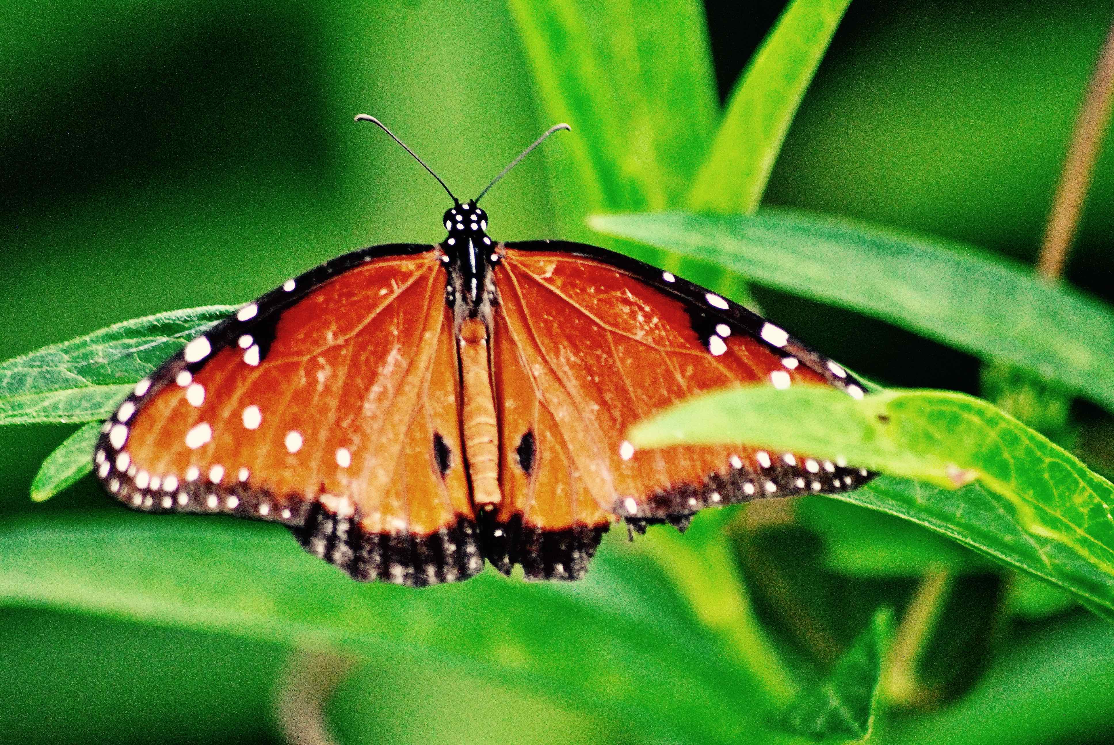
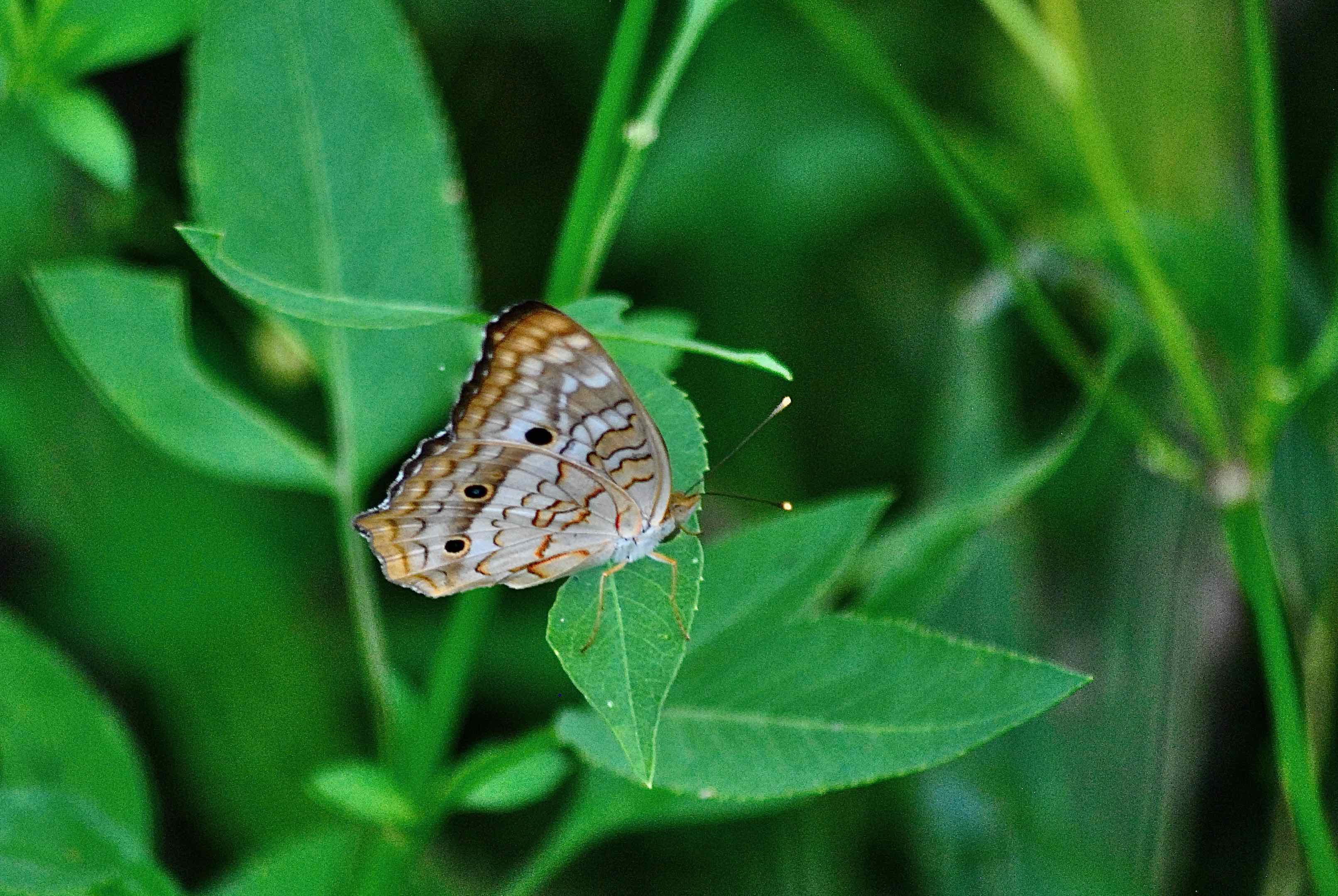
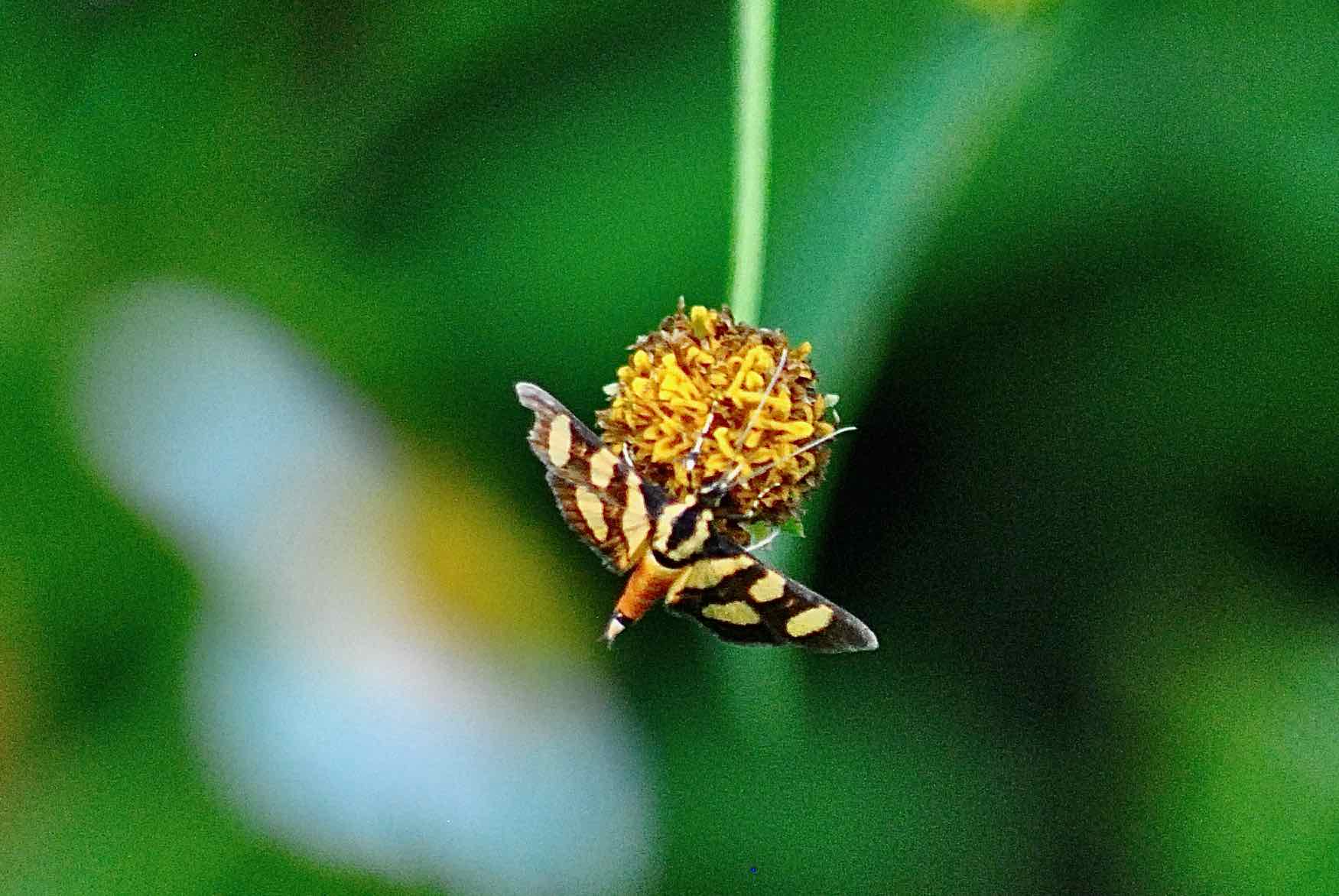
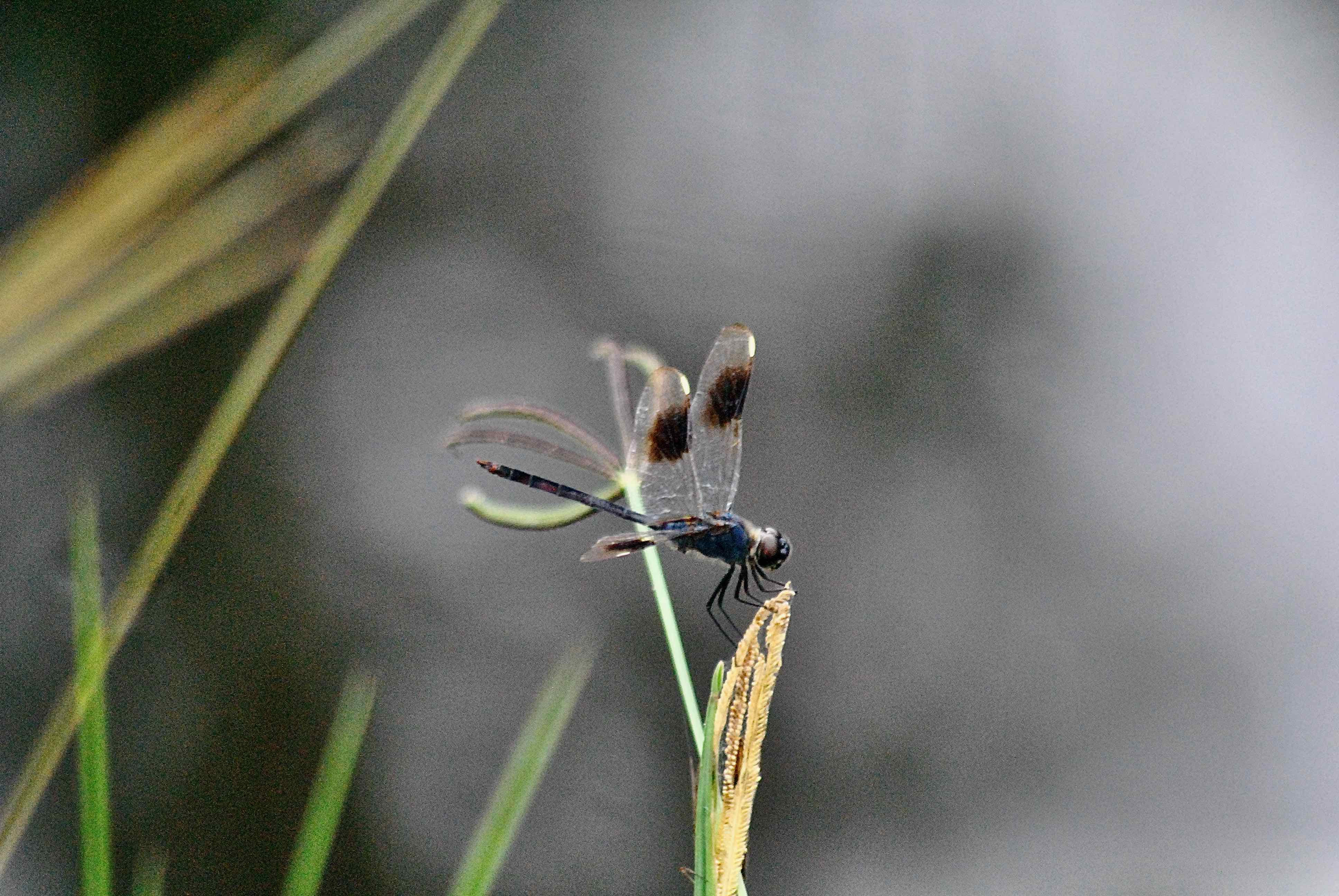
What You'll See: You never know what you might see while visiting Dupuis. A wild hog rooting around, literally, for his next meal. The air filled with swallows diving and turning for mosquitoes. A flock of skittish turkeys scurrying through the understory of a live oak hammock. Soldier butterflies numerous enough to field an army. Flowers that rank among the rarest in South Florida, indeed the world. Combine Dupuis' nearly 22,000 acres with neighboring J.W. Corbett Wildlife Management Area's 60,000 acres and you've got one of the largest swaths of undeveloped land on Florida's east coast.
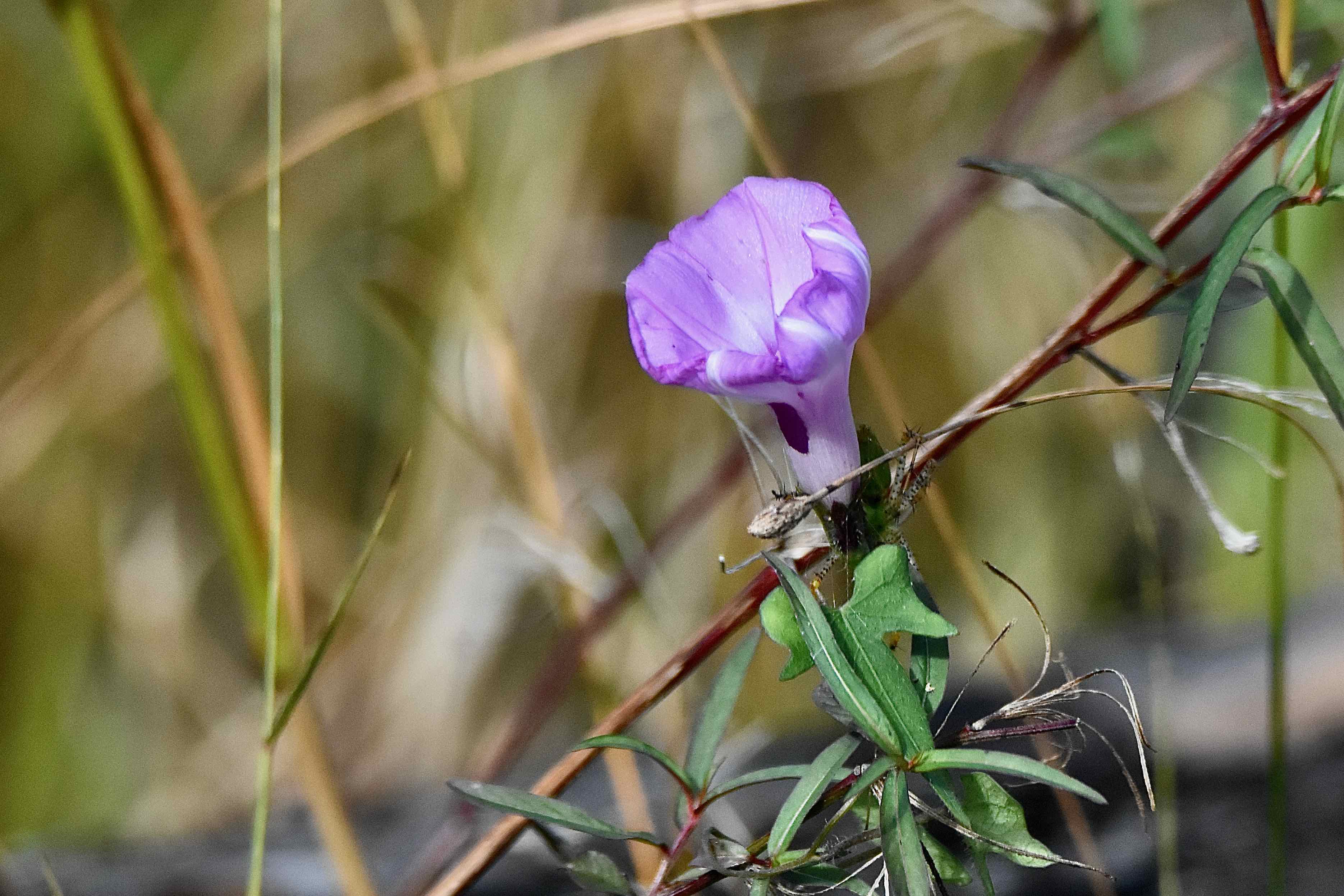
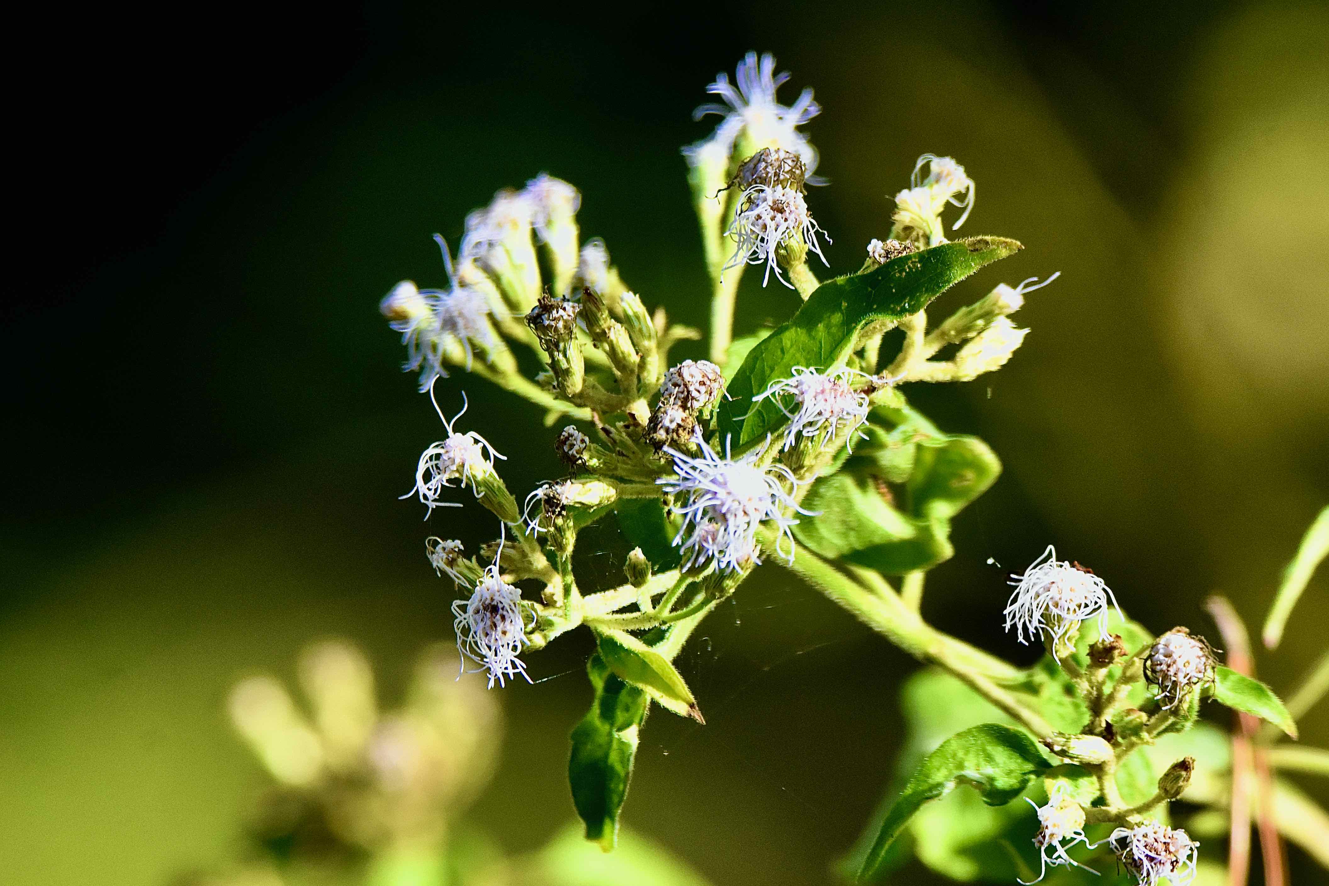
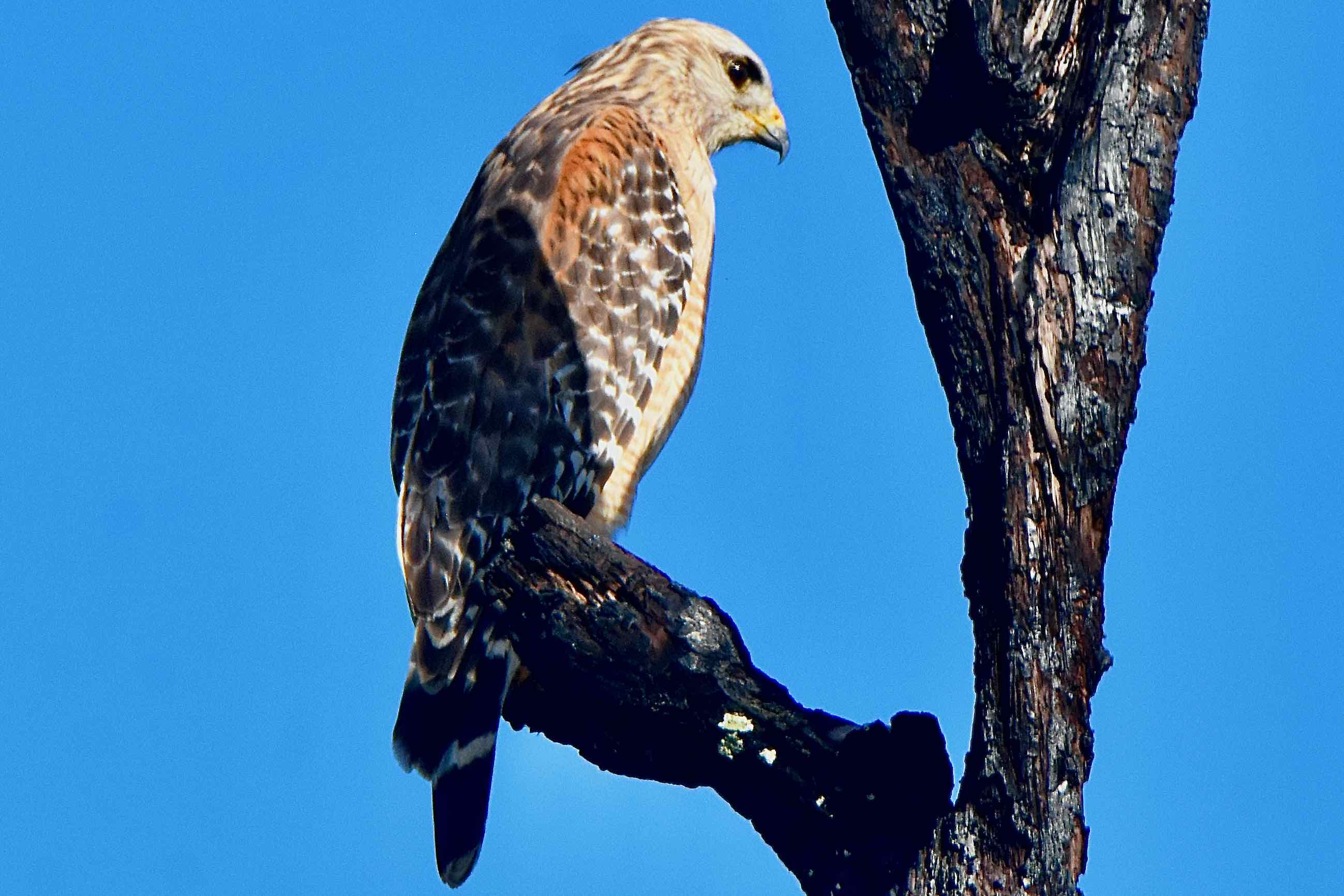
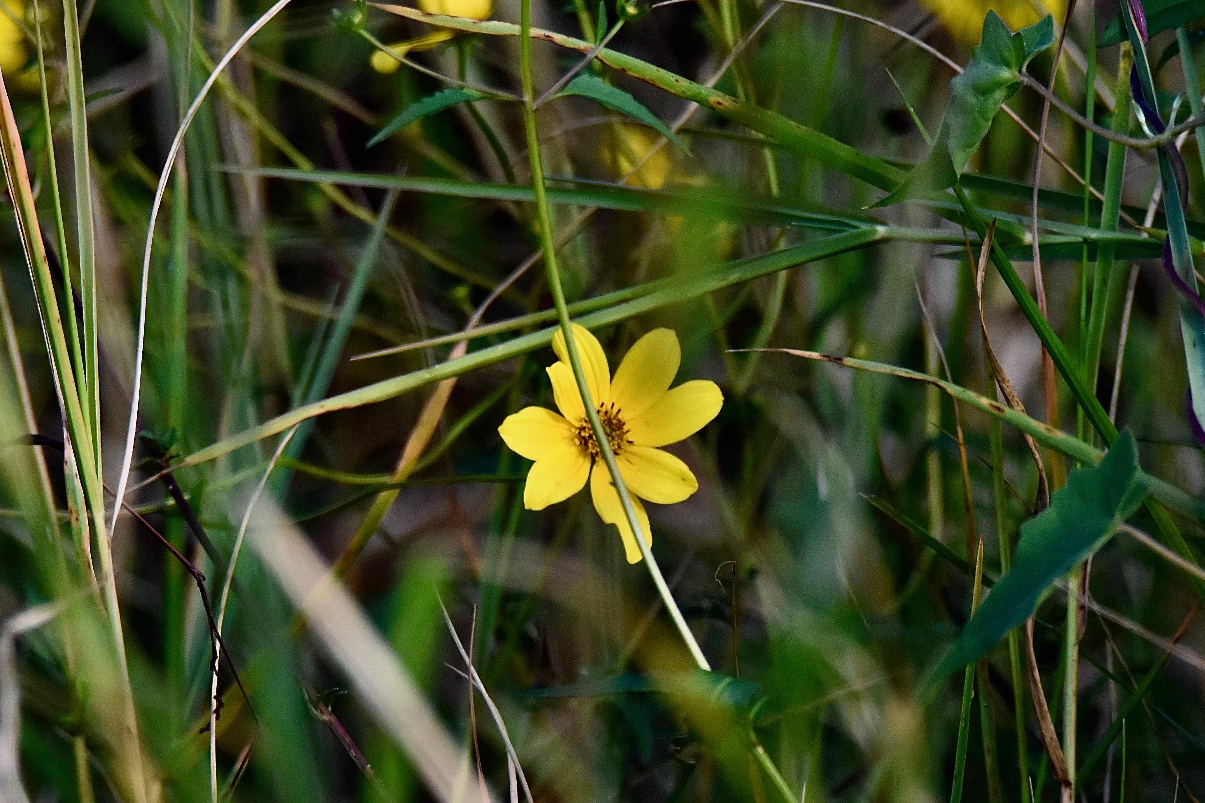
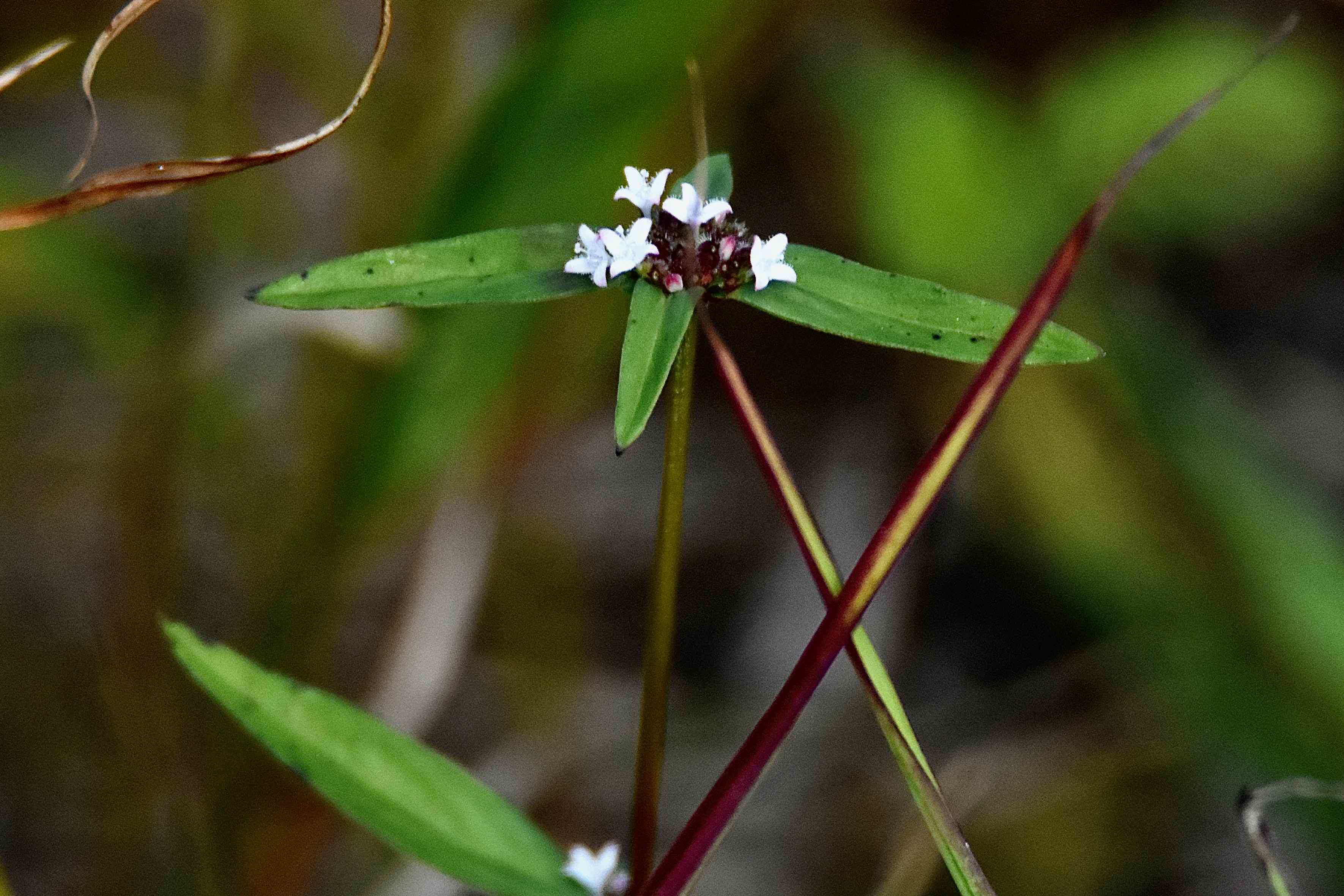
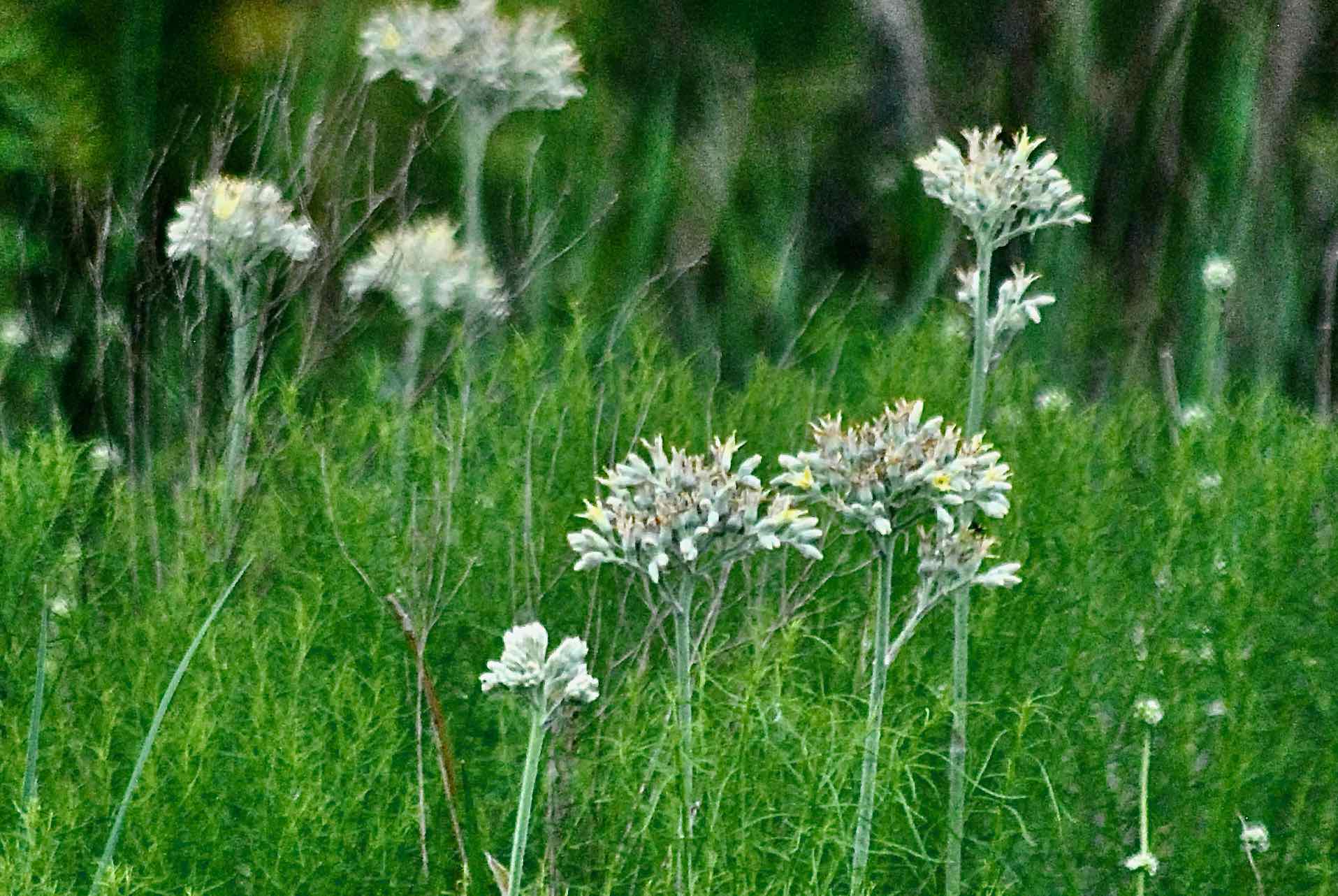
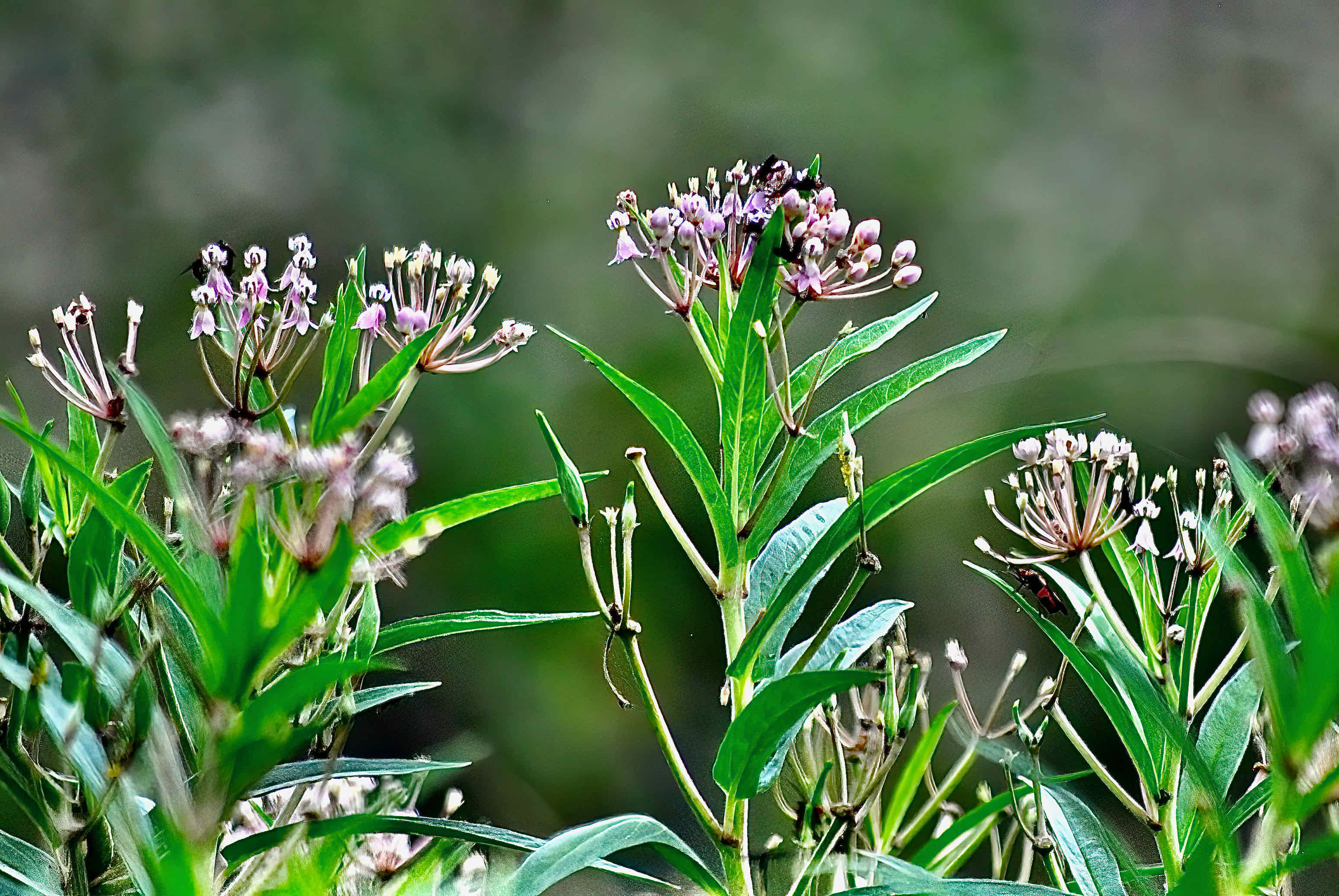
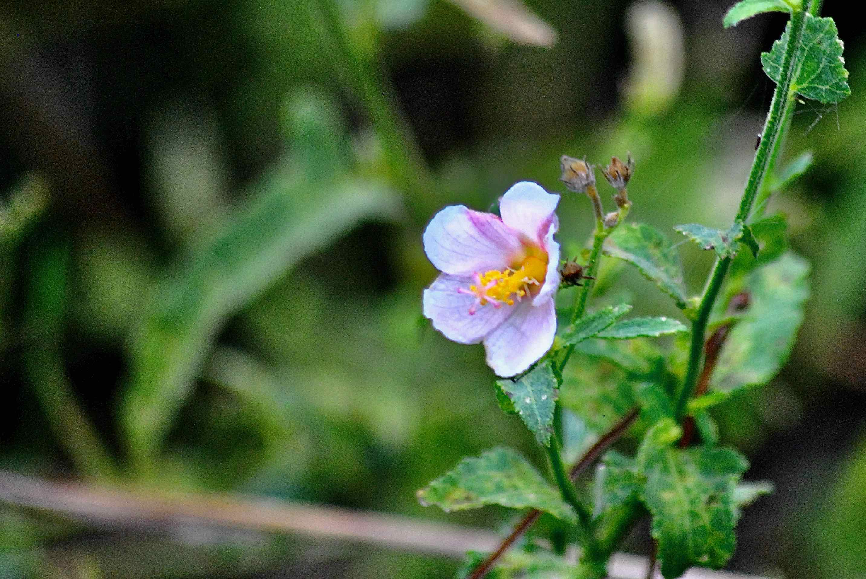
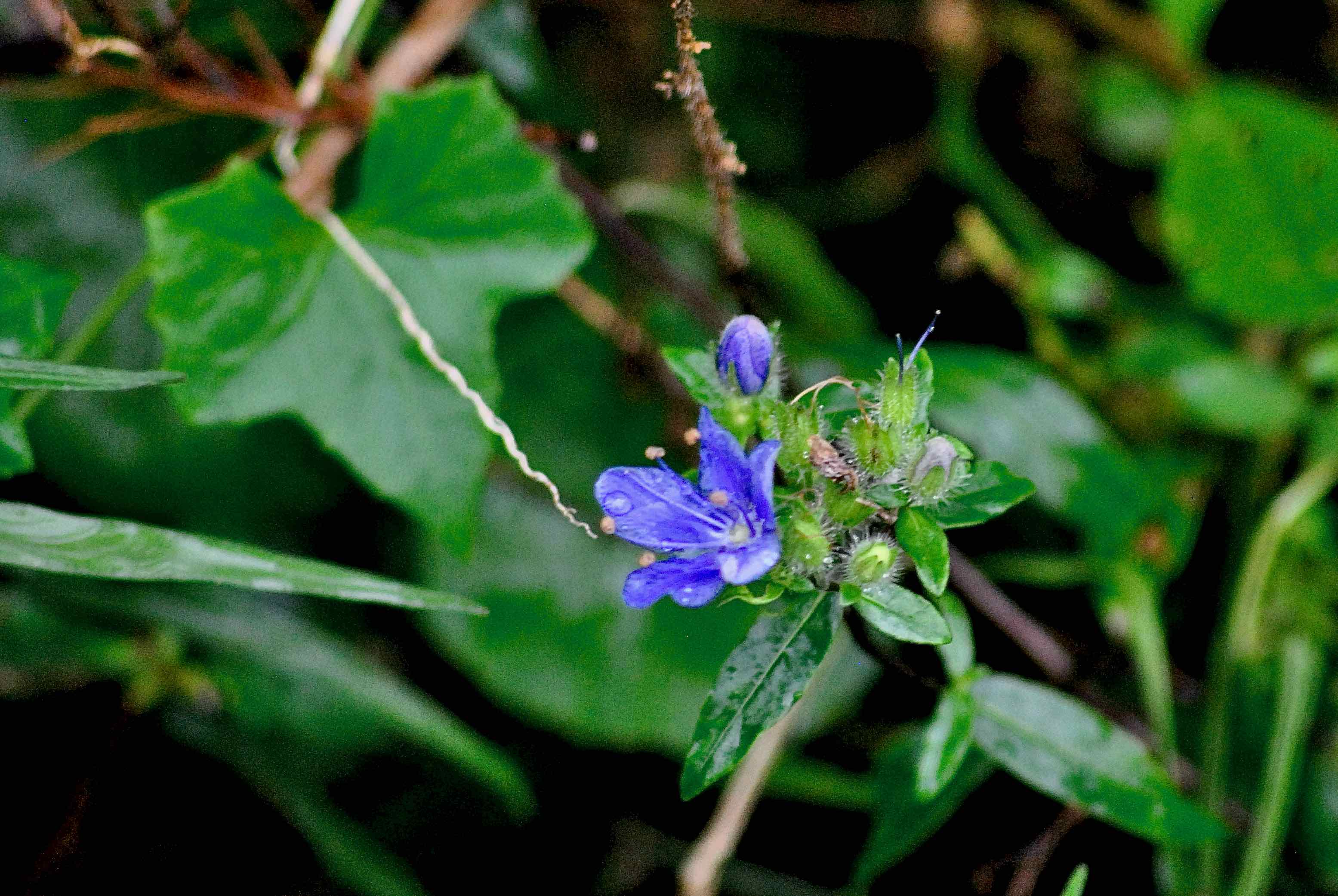
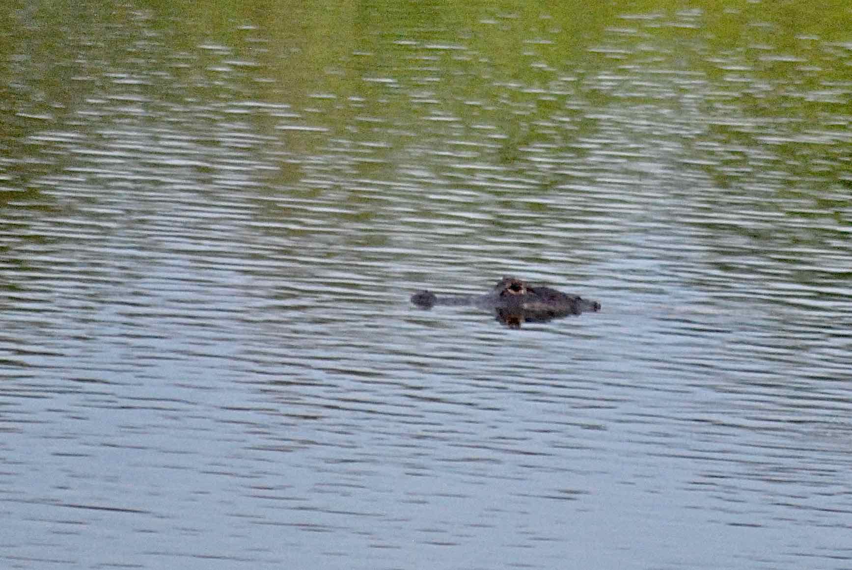
Some 139 species of birds have been recorded within Dupuis, including the rare and once extirpated and now reintroduced red-cockaded woodpecker. Wild turkeys roam parts of the park, as do various wading birds, including wood storks, snowy egrets, tricolored herons and sandhill cranes. Migrants are common in the cooler months. An early 1990s report on Dupuis found evidence of Florida panthers roaming the area back in the 1980s but the odds of spotting one now are pretty close to nil. You're more likely to see white-tailed deer, bobcats or river otters. Rare plants we've seen include rain lilies, skyflower, smallfruit beggar's ticks and lindenleaf rosemallow.
Amenities: There is an equestrian center, campsites, picnic tables, fishing pier and a short boardwalk complete with interpretive signs. a 7.5-mile auto tour (link to the tour guide here).
Nearby: JW Corbett Wildlife Management Area neighbors Dupuis to the east. Also in the area: the Jones/Hungryland Wildlife and Environmental Area. Barley Barber Swamp is just to the north, but reservations are required to visit and take a guided tour.
Links: The Great Florida Birding Trail's take on Dupuis WMA is here. The Institute for Regional Conservation's plant list is here. The South Florida Water Management District's 10-year management plan (2014 to 2024) is here. An updated verision was not available as of this writing (Octover 2024).
Of Note: There are several entrances to Dupuis, depending on the activity. The entrance for the driving tour is Gate 1; hiking and biking, Gate 2, equestrian Gate 3. Dupuis WMA is open every day of the year.
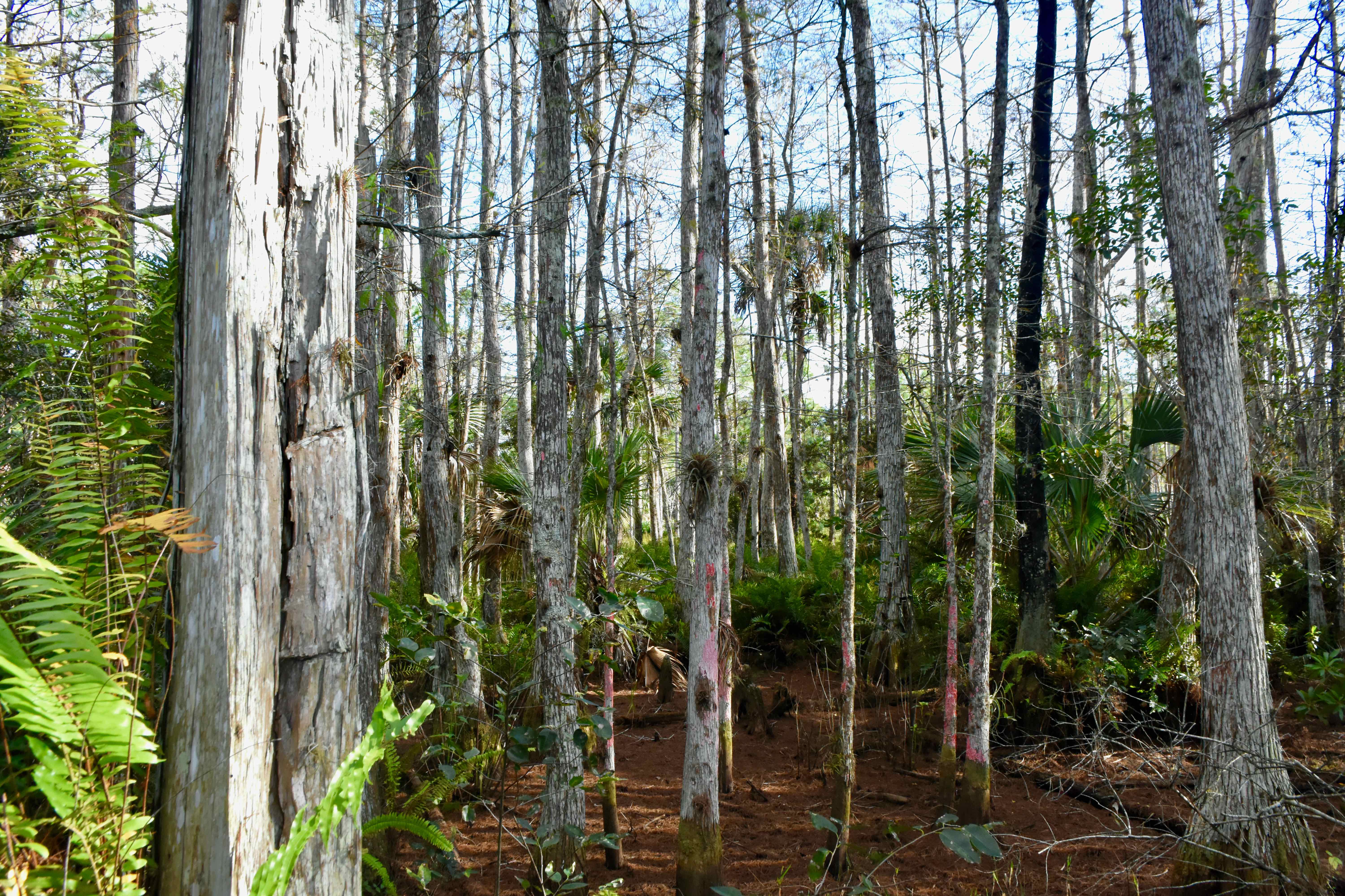
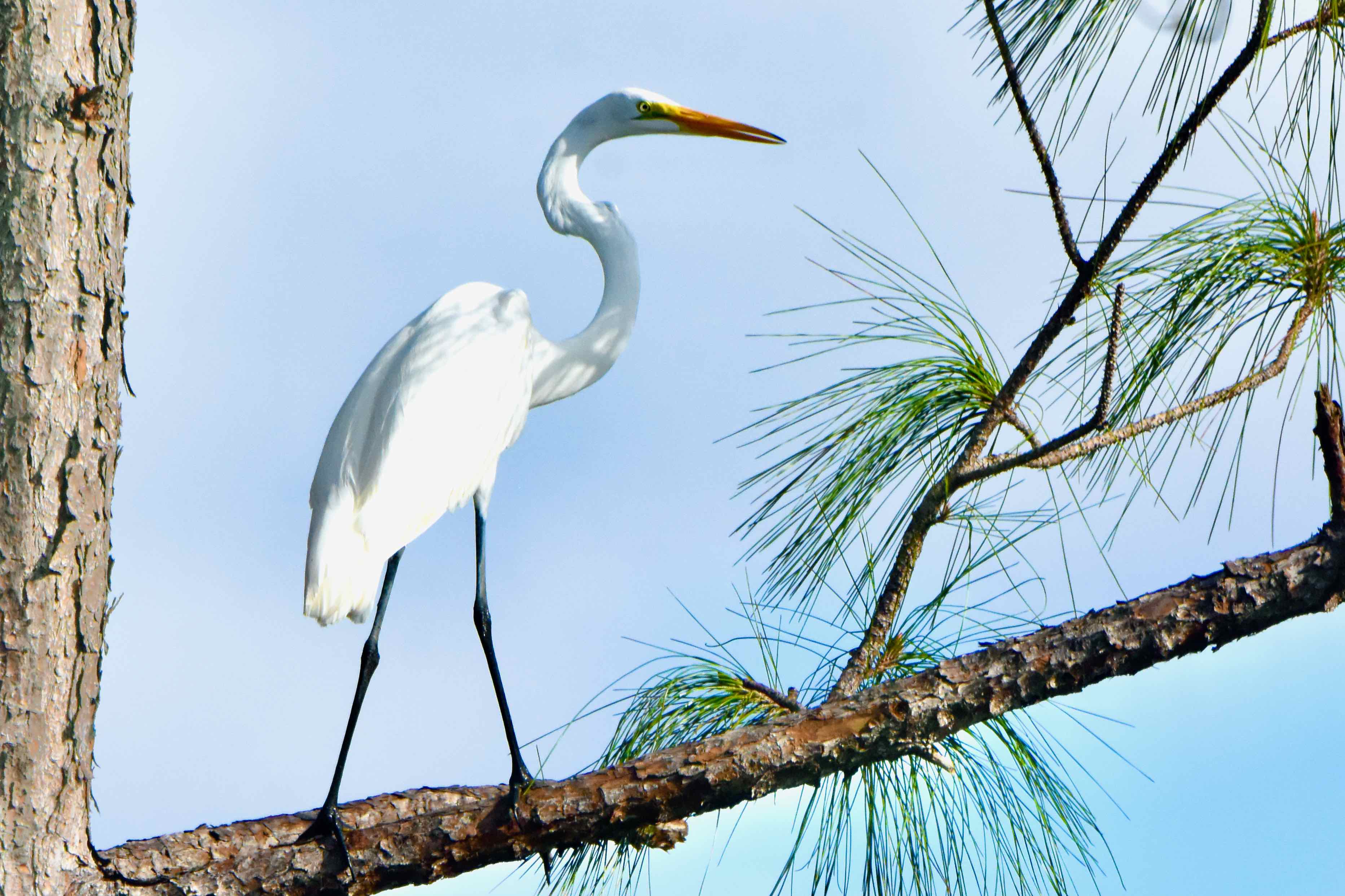
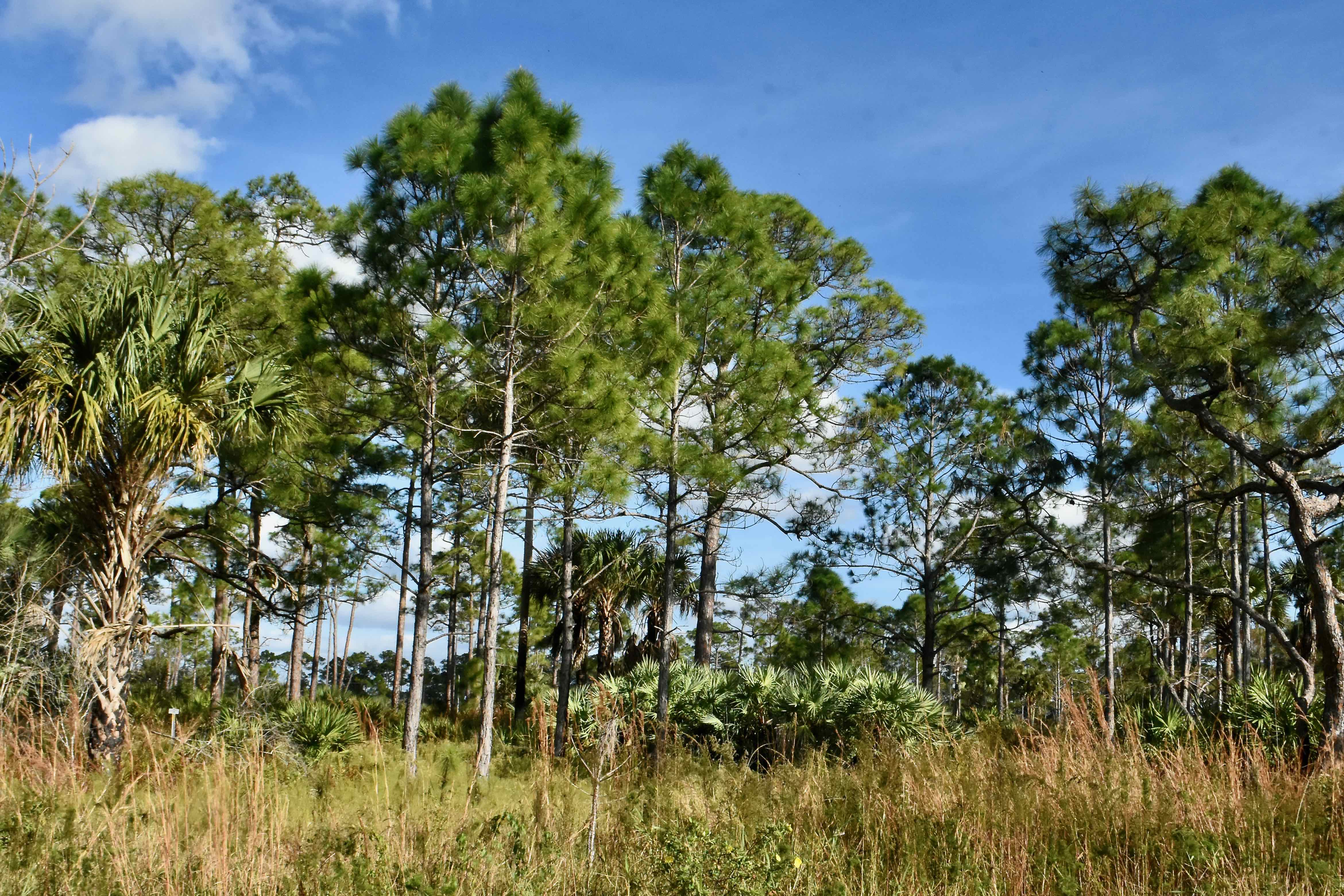
Cover Photo: A white egret perched in a slash pine. Dupuis Wildlife and Environmental Area's wet habitats make perfect places for a wading bird to forage. Second Photo: More than half of Dupuis' 22,000 acres are flatwoods like this.
In many ways, Dupuis WEA is an outdoorsman's paradise. It has 35 miles of hiking and biking trails, including the Ocean to Lake Trail and the Florida Trail, plus four loop trails. Prefer to explore from the back of a horse? Dupuis features 40 miles of equestrian trails for you. There's hunting, fishing and camping as well.
History: Human use of the land that is now Dupuis goes back to 500 BC, perhaps to 1,000 BC, according to archeological evidence uncovered on the site in the form of a circular ditch dug some time between 1,000 BC and 200 AD. There are Indian mounds and evidence of at least one permanent village established by ancient Floridians. In more "modern" times, Dupuis was part of The Hungryland, a refuge for Seminoles after their defeat at the Battle of Loxahatchee in 1838, so called because of the lack of game and edible plants in the area.
In 1902, the Southern States Land and Timber Co. bought 2 million acres in the vicinity of Lake Okeechobee, including Dupuis. Over the next 50 years, the land would be sold off to various interests and finally into the hands of John G. and Susan H. Dupuis Jr. and their White Belt Dairy Farm in 1955. John Dupuis died in 1984; two years later, the South Florida Water Management District bought the land through the state's Save Our Rivers program. The land was designated as the Dupuis State Forest until 1996 when the state changed it to the Dupuis Wildlife and Environmental Area.
One key event happened in 1915: the construction of the St. Lucie Canal just to the north, which significantly altered the hydrology of the area by cutting off water flow from the north. Construction of the L8 canal along southern boundary of the property severed ties with Everglades. The two major canals, plus a network of ditches made the land suitable for grazing livestock; as many as 3,000 head of cattle and 2,000 sheep once pastured in Dupuis, but less so for native plants and animals. One of the major goals of land managers after the state bought Dupuis was to restore natural water flow to the extent possible.
What You'll See: You never know what you might see while visiting Dupuis. A wild hog rooting around, literally, for his next meal. The air filled with swallows diving and turning for mosquitoes. A flock of skittish turkeys scurrying through the understory of a live oak hammock. Soldier butterflies numerous enough to field an army. Flowers that rank among the rarest in South Florida, indeed the world. Combine Dupuis' nearly 22,000 acres with neighboring J.W. Corbett Wildlife Management Area's 60,000 acres and you've got one of the largest swaths of undeveloped land on Florida's east coast.
Some 139 species of birds have been recorded within Dupuis, including the rare and once extirpated and now reintroduced red-cockaded woodpecker. Wild turkeys roam parts of the park, as do various wading birds, including wood storks, snowy egrets, tricolored herons and sandhill cranes. Migrants are common in the cooler months. An early 1990s report on Dupuis found evidence of Florida panthers roaming the area back in the 1980s but the odds of spotting one now are pretty close to nil. You're more likely to see white-tailed deer, bobcats or river otters. Rare plants we've seen include rain lilies, skyflower, smallfruit beggar's ticks and lindenleaf rosemallow.
Amenities: There is an equestrian center, campsites, picnic tables, fishing pier and a short boardwalk complete with interpretive signs. a 7.5-mile auto tour (link to the tour guide here).
Nearby: JW Corbett Wildlife Management Area neighbors Dupuis to the east. Also in the area: the Jones/Hungryland Wildlife and Environmental Area. Barley Barber Swamp is just to the north, but reservations are required to visit and take a guided tour.
Links: The Great Florida Birding Trail's take on Dupuis WMA is here. The Institute for Regional Conservation's plant list is here. The South Florida Water Management District's 10-year management plan (2014 to 2024) is here. An updated verision was not available as of this writing (Octover 2024).
Of Note: There are several entrances to Dupuis, depending on the activity. The entrance for the driving tour is Gate 1; hiking and biking, Gate 2, equestrian Gate 3. Dupuis WMA is open every day of the year.
Cover Photo: A white egret perched in a slash pine. Dupuis Wildlife and Environmental Area's wet habitats make perfect places for a wading bird to forage. Second Photo: More than half of Dupuis' 22,000 acres are flatwoods like this.