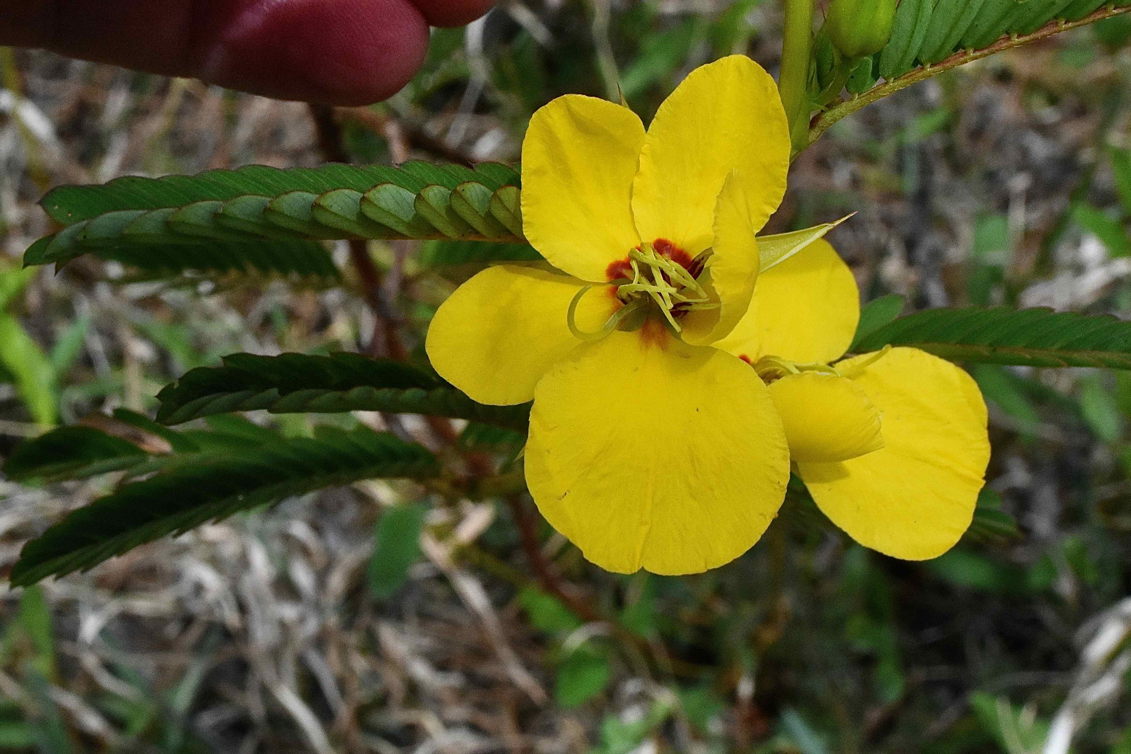
Overview: Allapattah Flats is a wild and wet place, nearly 22,000 acres of marshes, meadows and flatwoods. Scenic and serene, it's an ideal place for a hike, a bike ride or just about any outdoor activity of your choosing. Oddly enough, Allapattah is also a pretty good place to graze cattle, and a short walk off the main road will offer plenty of evidence of their presence in the form of dung. Really.
The formal name is Allapattah Flats Wildlife Management Area, a creation of Martin County, the South Florida Water Management District, the Florida Save Our Everglades Trust Fund and the federal Natural Resources Conservation Service. Its main purpose is to reduce the flow of storm water into the Indian River Lagoon as part of the Comprehensive Everglades Restoration Plan. Another major goal is to return natural plant and animal communities to Allapatah Flats and open up the land to recreational uses.
While Allapattah Flats Wildlife Management Area is a work in progress in many ways, it is beautiful and diverse, accessible through miles of hiking trails. It isn't always the easiest place to negotiate and navigate, but it is a fun place to explore. One quick note: Allapattah is the Seminole word meaning alligator. Second quick note: as noted, there are cattle here. It's part of the restoration plan.
History: The story of Allapattah Flats mirrors the story of Florida itself. Since statehood, there has been a drive to drain and dry as much of Florida's wetlands as possible for more "productive" uses like farms and ranches and to cut down its vast forests of old growth slash pines for lumber. Humans have used Allapattah's wet terrain for at least 2,000 years, possibly as far back as 10,000 years. At the time the Spanish arrived in Florida, Allapattah Flats was the home of the Ais and Jeaga tribes, who, in the rainy season, used the inundated wetlands as a highway of sorts, poling canoes between the Everglades and the St. Johns River basin, the original extent of Allapattah. In the dry season, they hunted here. By the 19th century, both Seminoles and European settlers used Allapattah to graze cattle.
The push to dry out Allapattah moved into high gear with the digging of the C-23 canal along the Martin-St. Lucie county line in 1942. A network of canals and ditches added during the 1940s and 1950s further drained the land. Storm water that naturally would seep into the ground, evaporate or gradually flow into the Indian River Lagoon rushed into the estuary instead, fouling it with nutrients and reducing its natural salinity to unhealthy levels. The solution: create Allapattah Flats Wildlife Management Area and restore the natural hydrology of the land to the extent possible. The first 13,706 acres were acquired in March 2002; 7,261 acres were bought in January 2003. Smaller parcels were added through 2008.
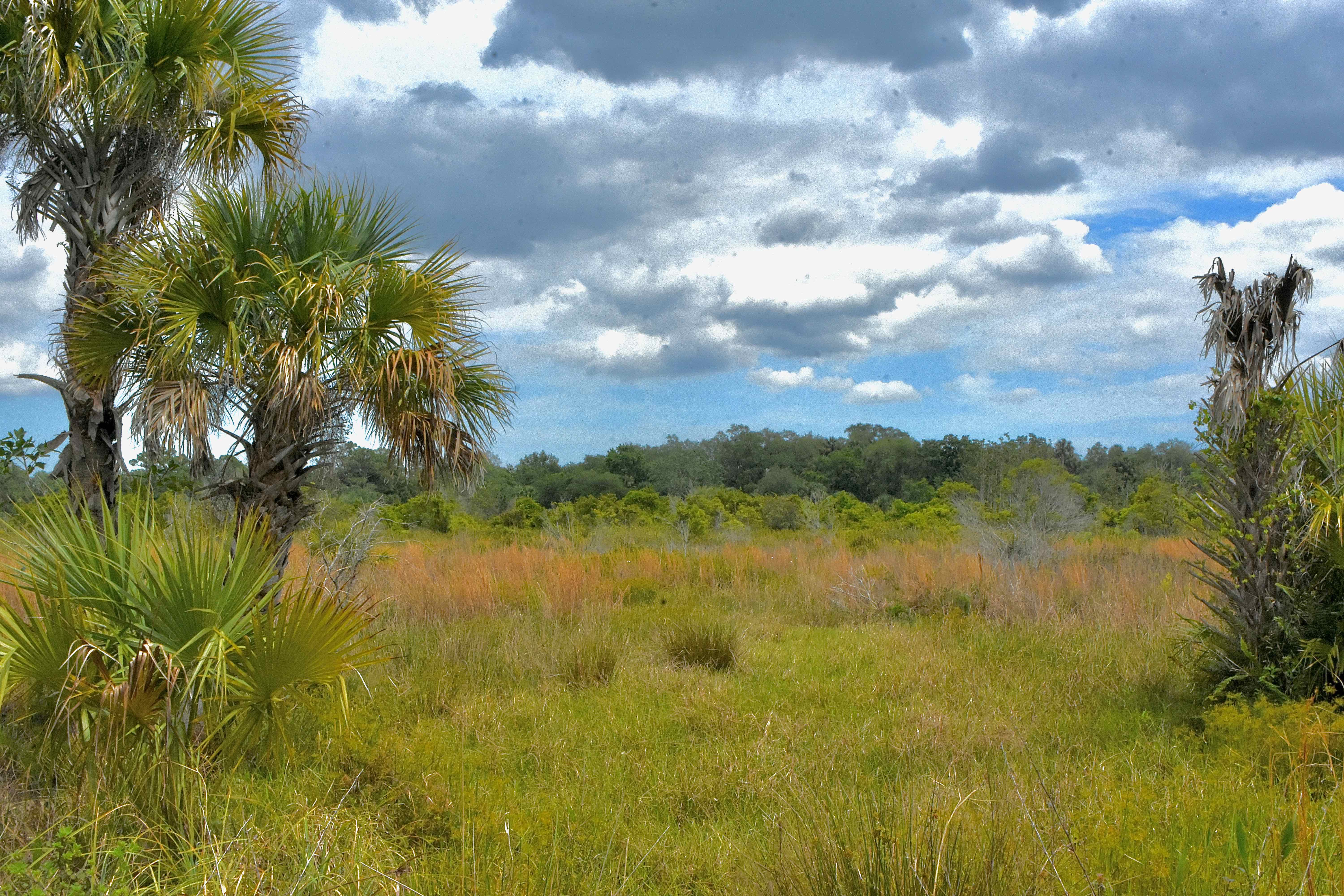
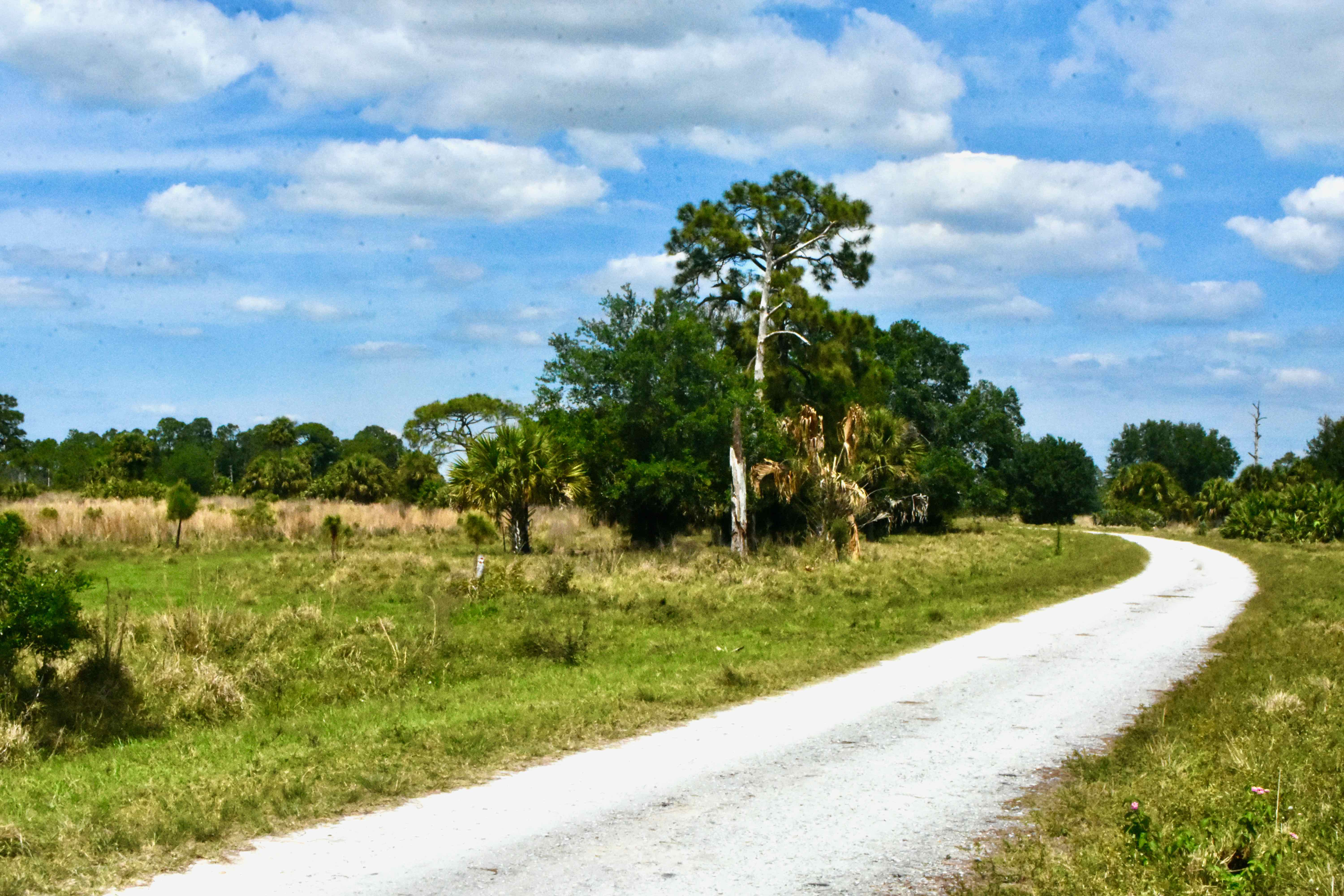
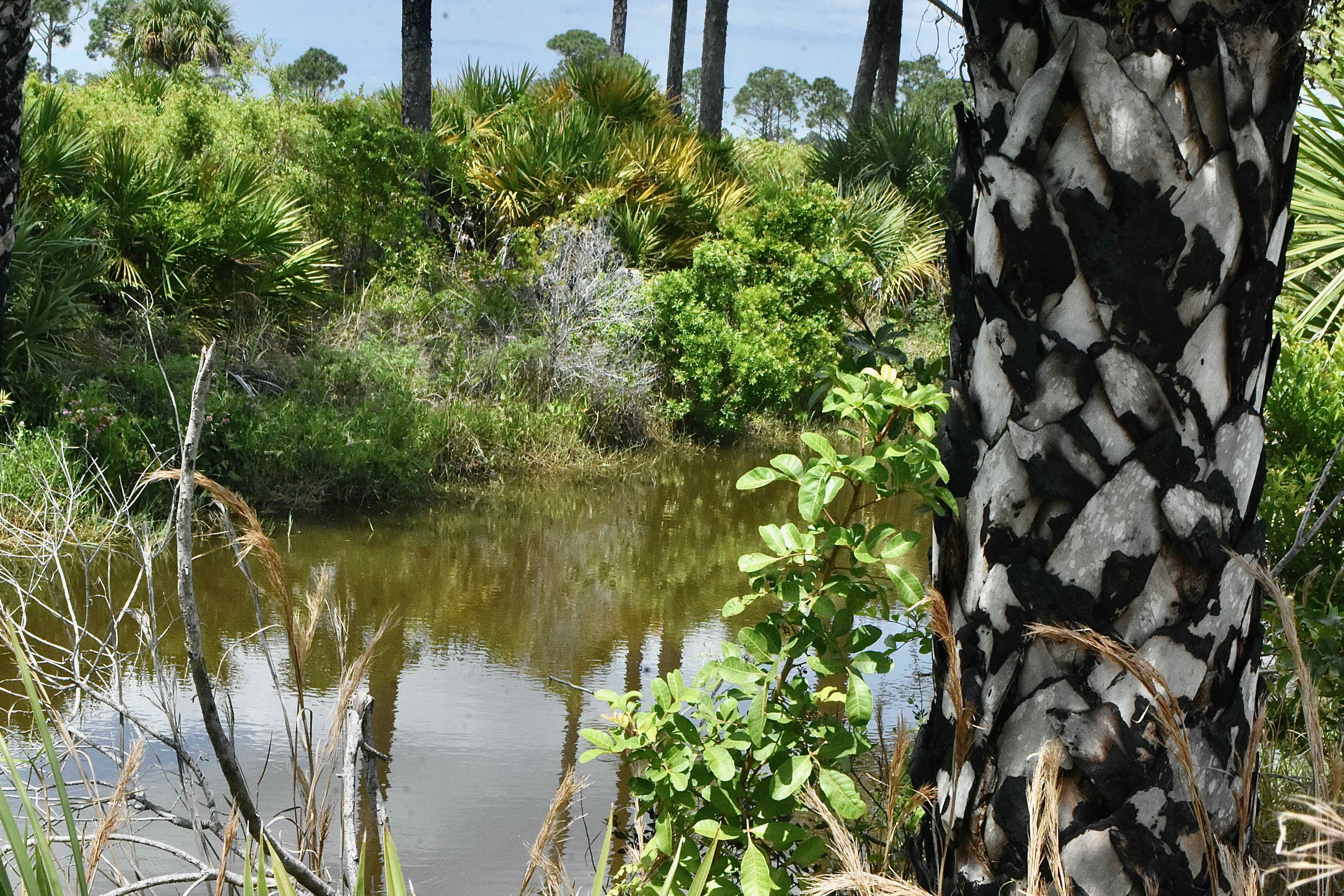
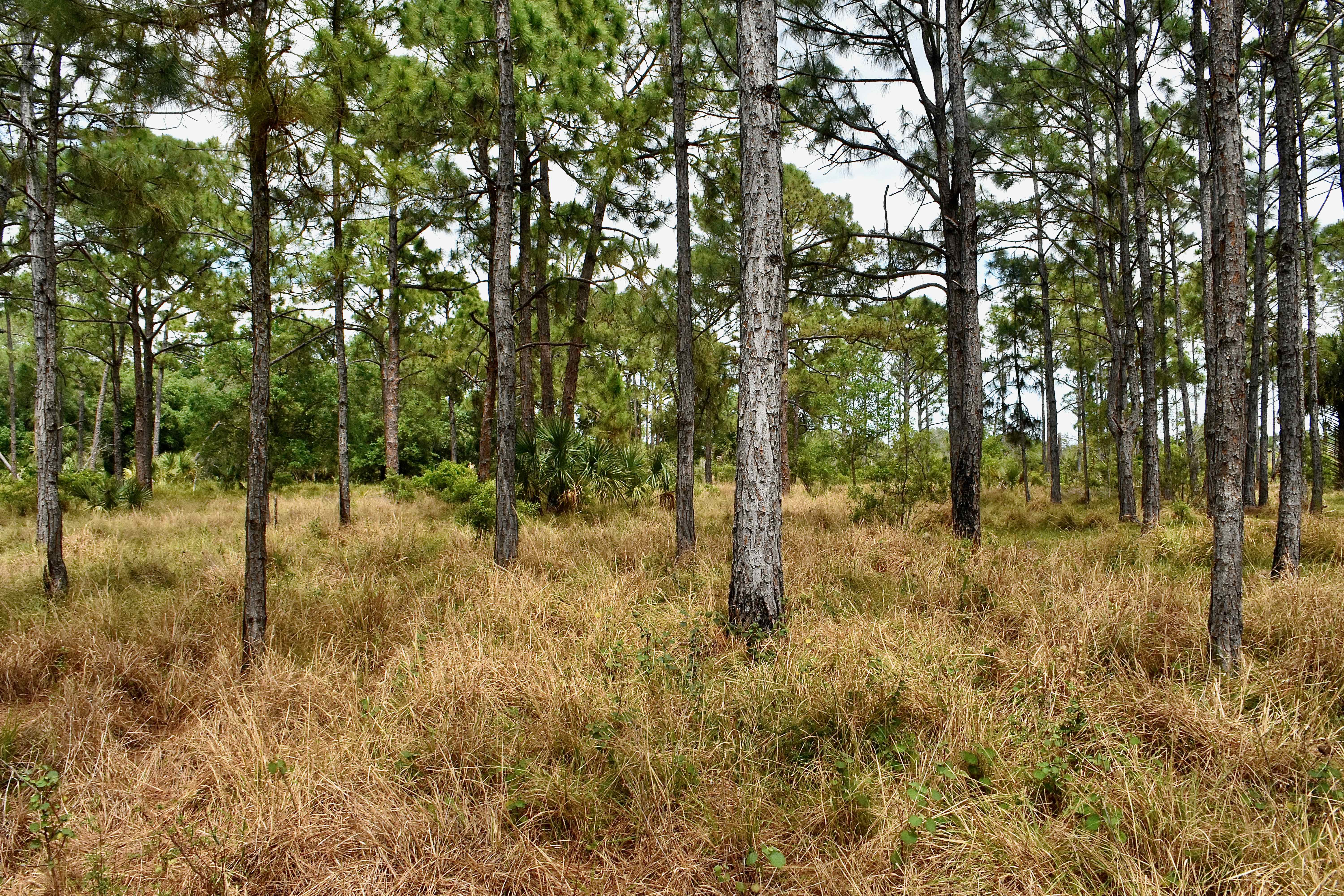
What You'll See: Allapattah Flats Wildlife Management Area is mostly a mosaic of marshes, wet prairies, pine flatwoods and small hardwood hammocks. Hike within its bounds and you are transported away from civilization. It's beautiful. It's not a difficult place to hike, but the trails narrow in places and they can be wet, especially in the rainy season. The exact path of the trails seemingly become mulitple choice in places; tire marks from bicycles and the map feature on our phone proved extremely useful to clarify where we needed to go.
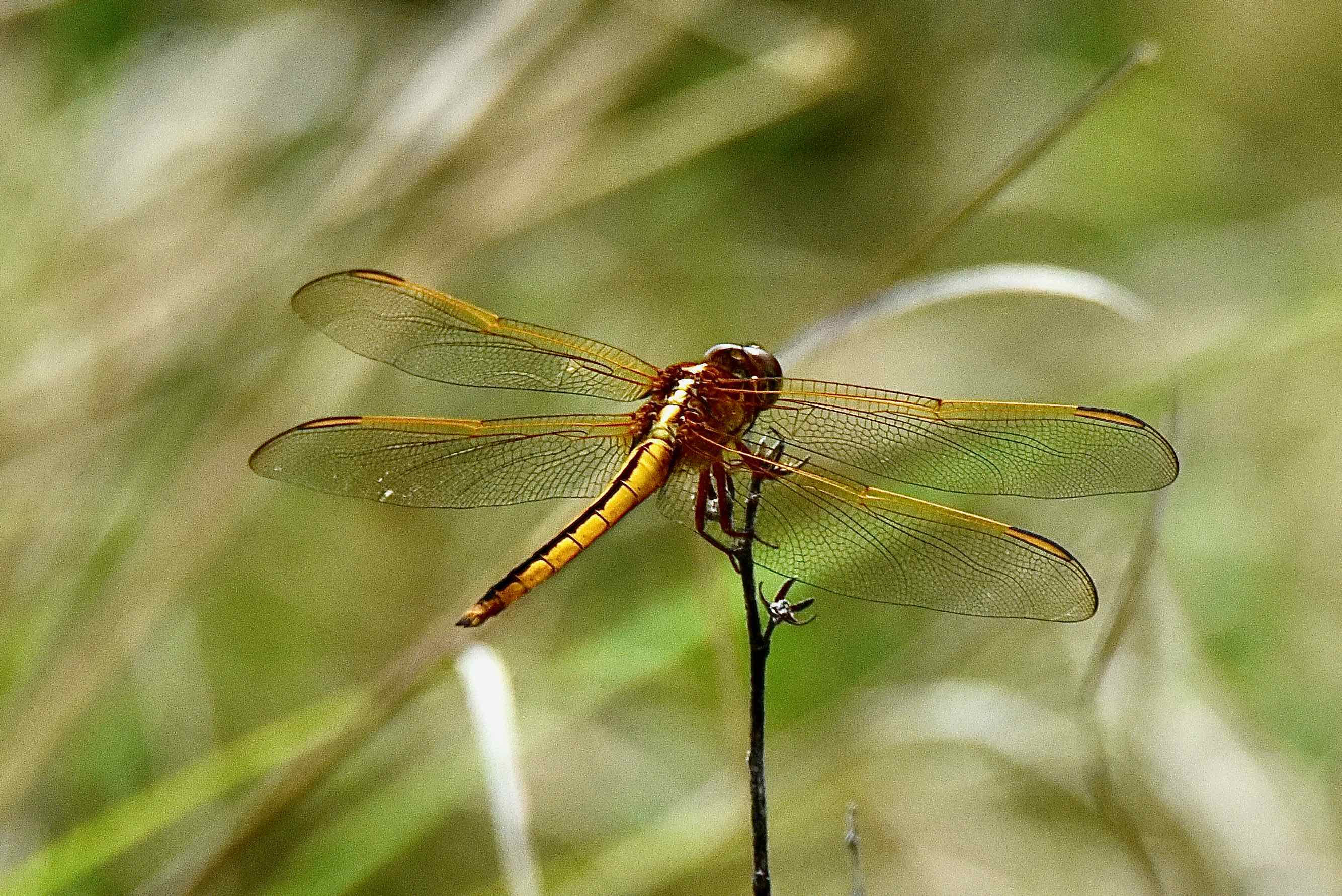
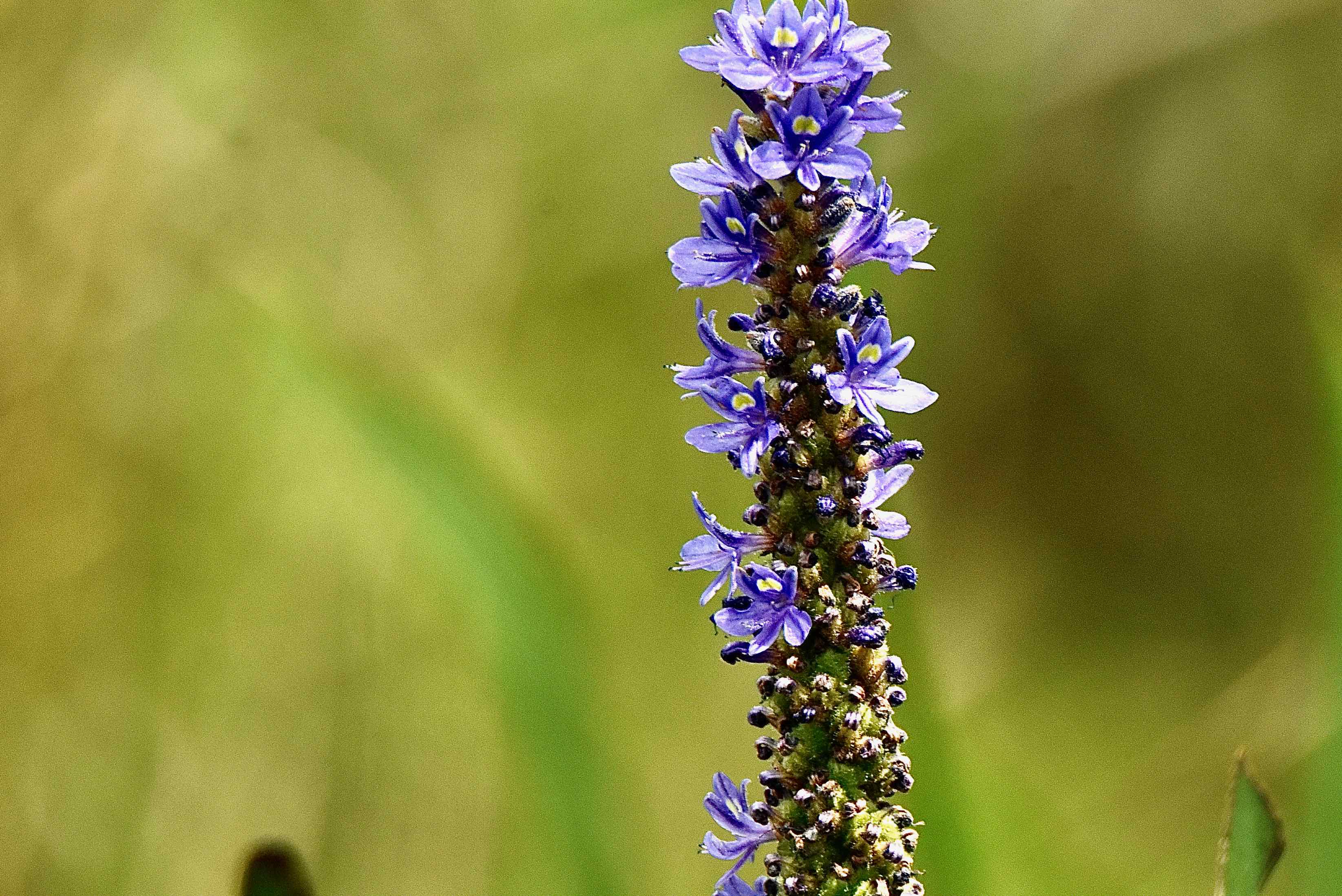
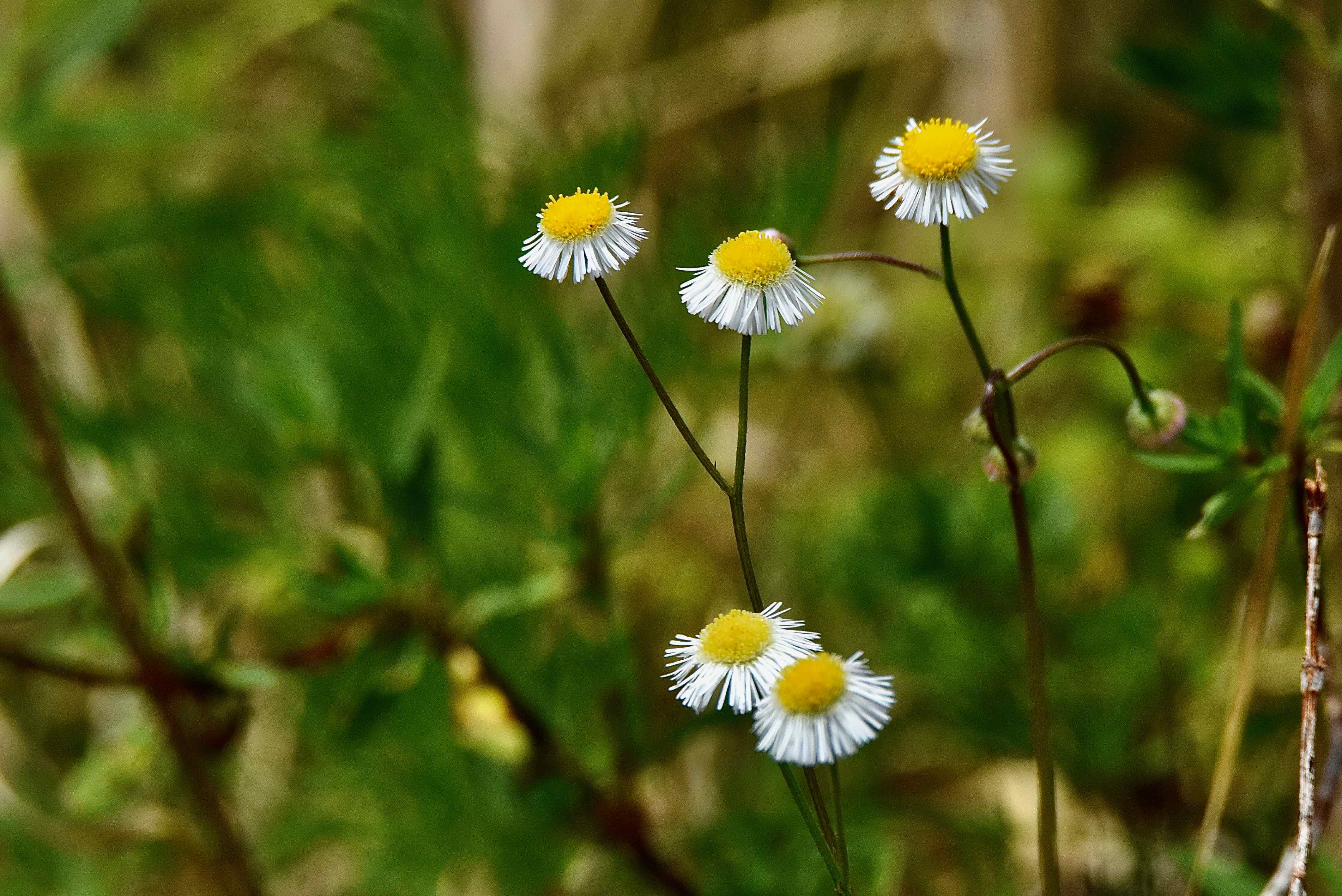
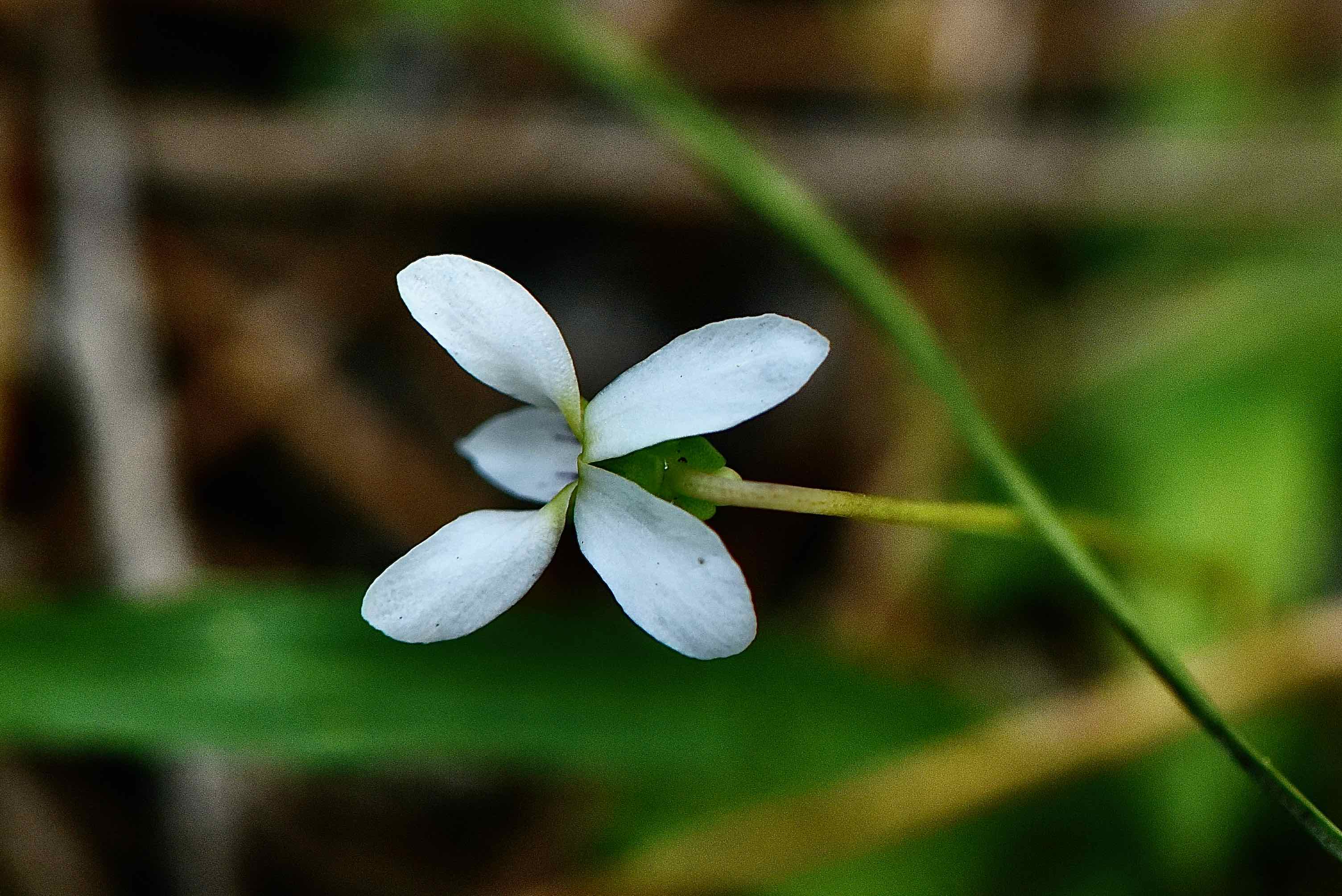
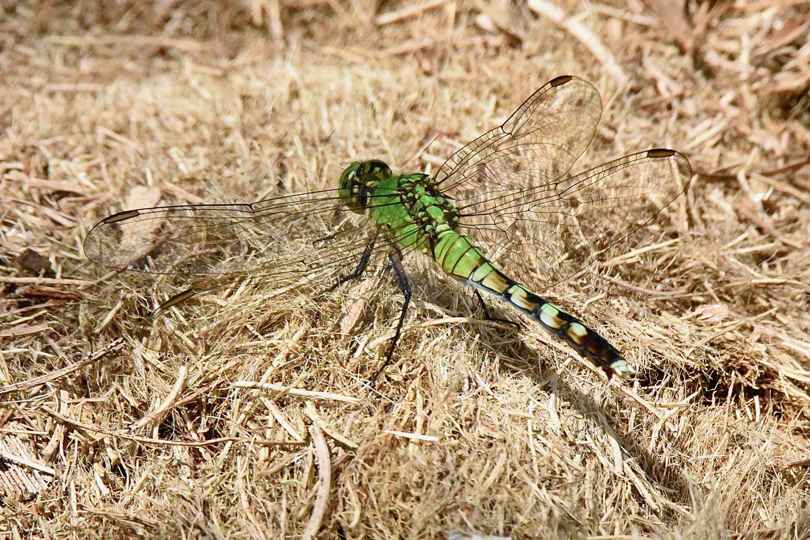
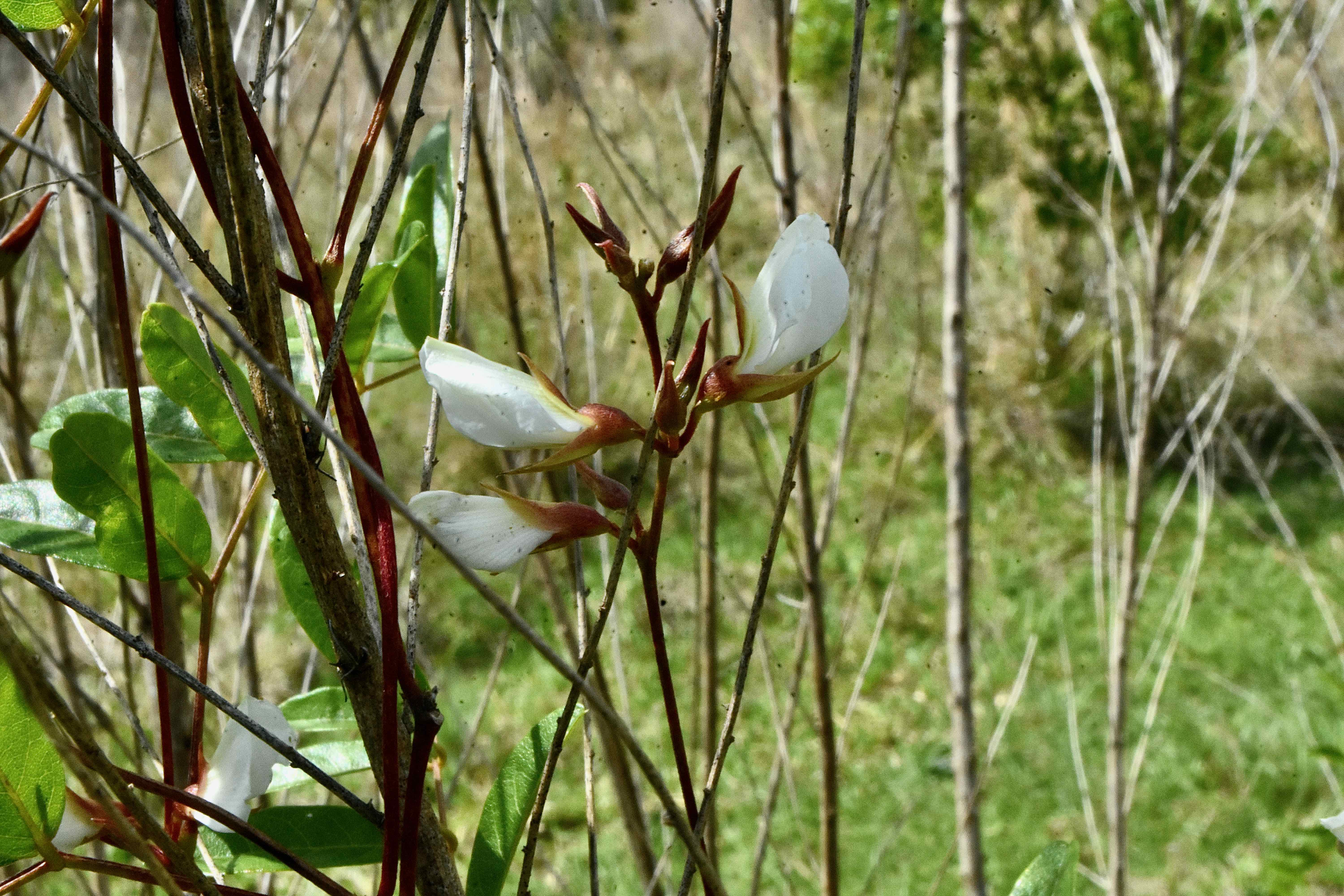
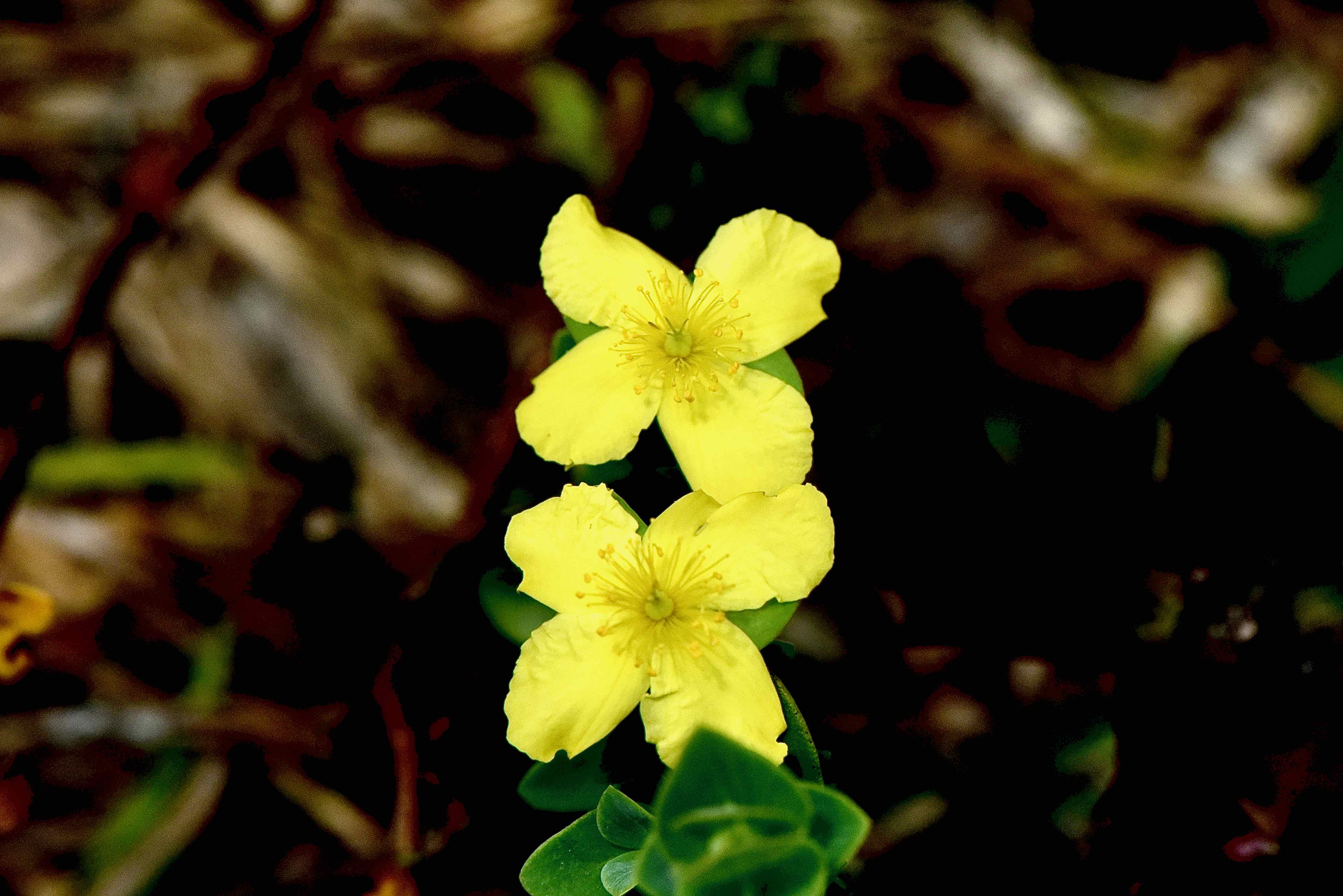
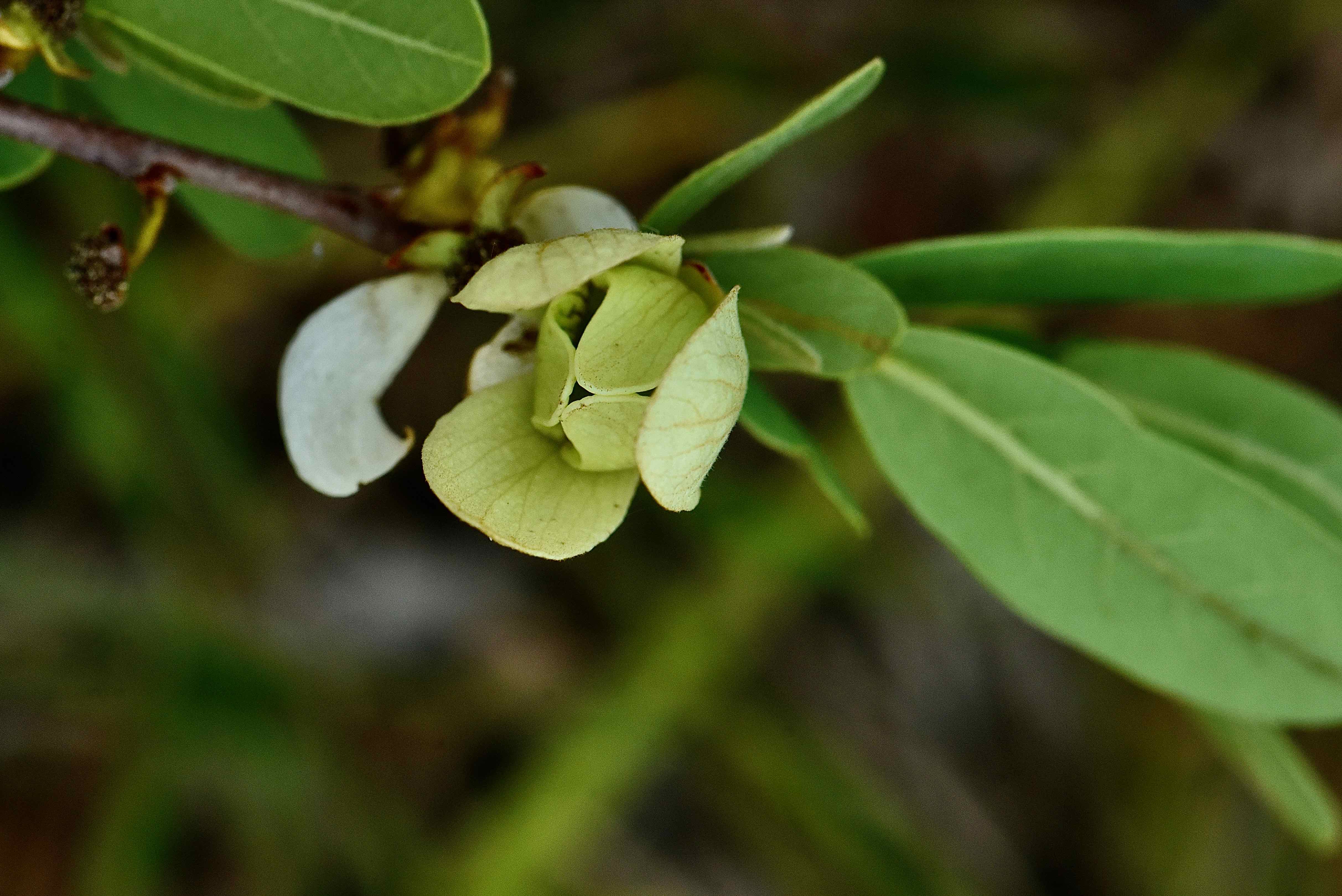
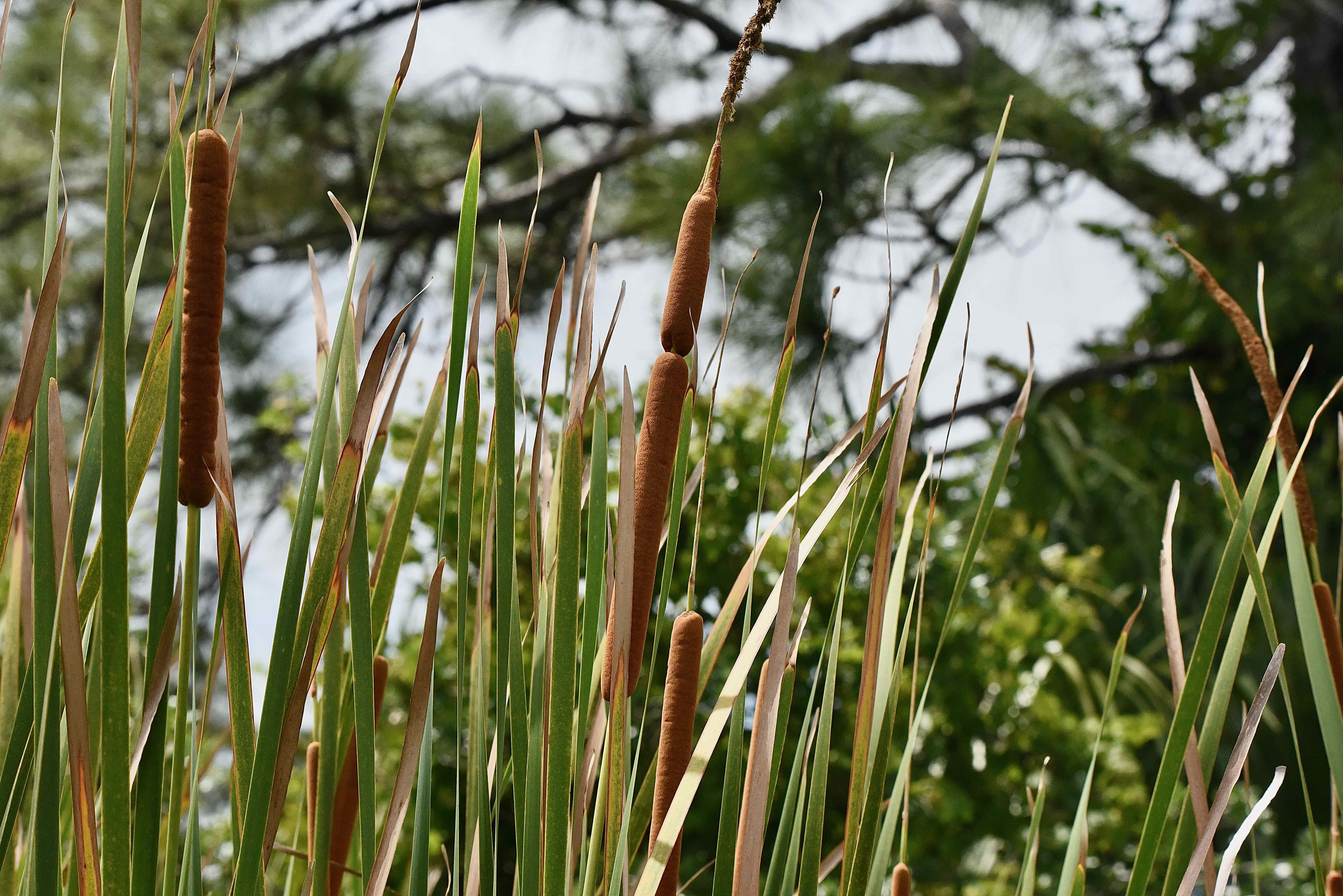
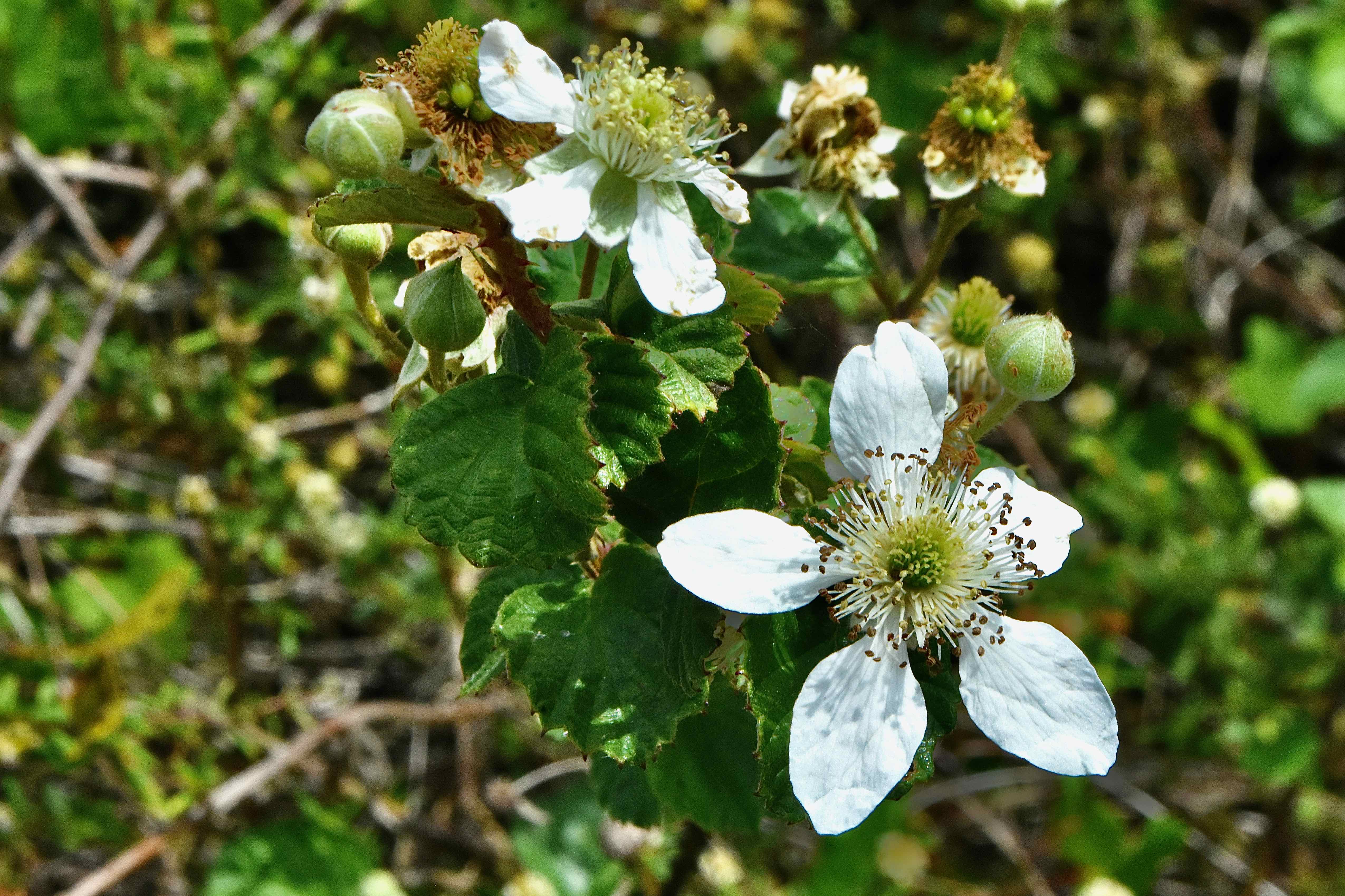
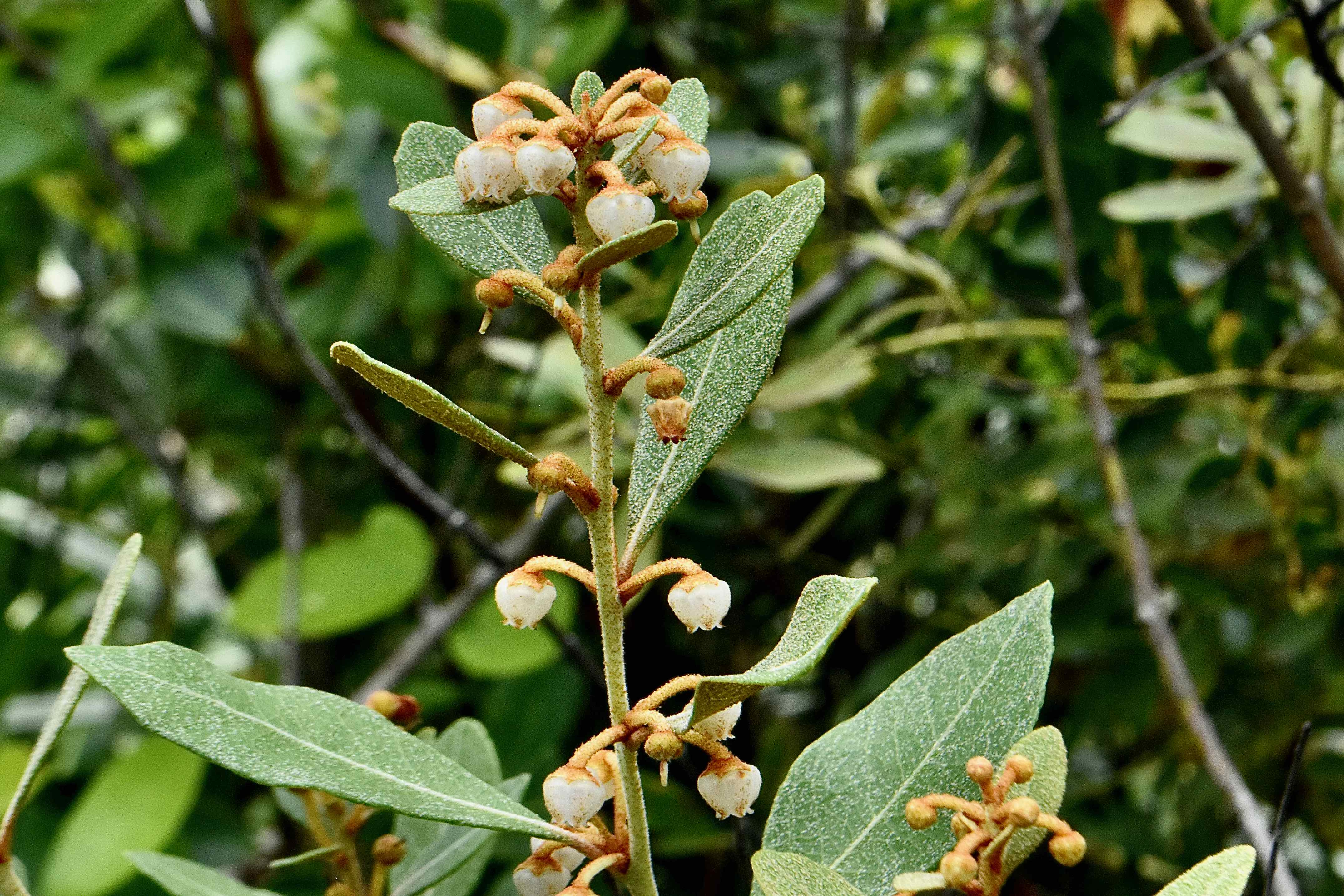
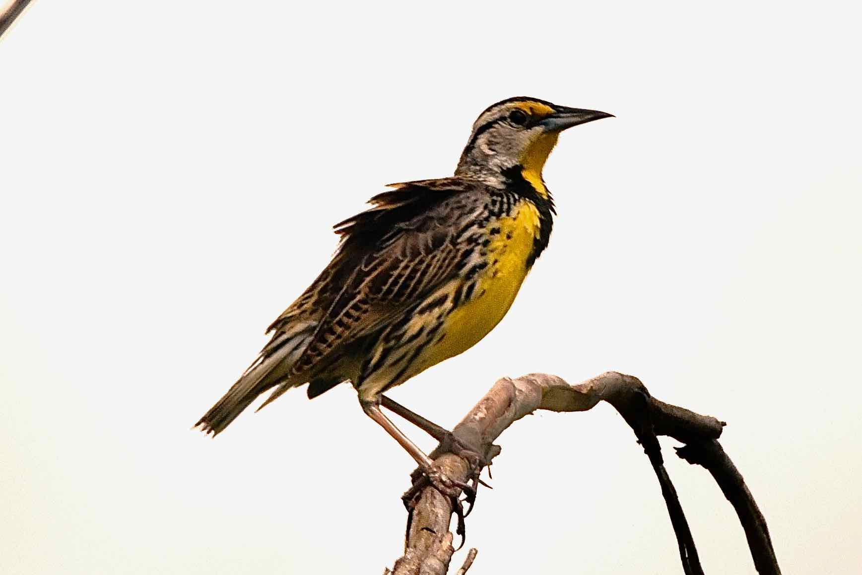
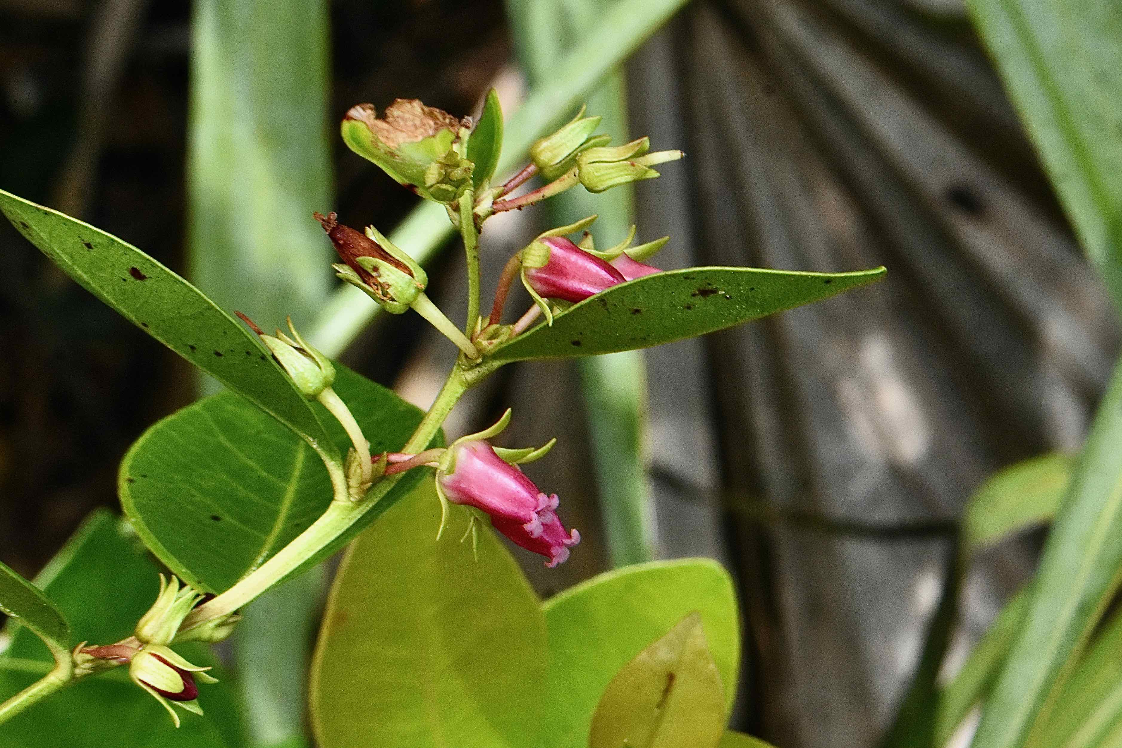
There are bobcats and white-tailed deer within the confines of Allapattah, but we encountered none during our visits. We have seen plenty of other creatures, great blue herons, red-bellied woodpcckers, southern leopard frogs, eastern meadowlarks and turkey vultures by the dozen. In the wetlands near the campground you might spot wood storks and other wading birds. Among the flora we found: spring ladies' tresses orchids; sand blackberries; elliot's milkpea, southern cattails, roundpod St. Johns Wort and blackeyed Susans. And despite the name, not a single gator spotted, though they are undoubtedly here.
Amenities: Hiking and biking trails are on the north side of County Road 714, one mile west of I95. There is plenty of parking. There is no drinking water or toilets. There is a gate across the road beyond the parking lot, but cars are permitted to a campground several miles to the north. The horseback riding trail lies directly across CR 714. Additional sections of Allapattah Flats are to the west. A free, special use license is required to camp within Allapattah. Click here for details.
Nearby: Coming from the south along I95, near the Kanner Highway exit in Stuart lies Halpatiokee Regional Park, Atlantic Ridge Preserve State Park and Delaplane Preserve.
Links: The Institute For Regional Conservation's inventory of plants for Allapattah Flats is here.
Of Note: Allapattah Flats Wildlife Management Area is open every day of the year. Admission free. The WMA is open to hunting at certain times. Check the website for details.
Cover Photo: A southern leopard frog found in a wet area along one of the trails. Allapattah Flats historically was a very wet place so it seems appropriate to use our friend as the poster critter for the wildlife management area. Given the area's use by the Ais and Jeaga tribes, it's not hard to imagine them hunting and dining on his ancestors. Such is life. Second photo: A grassy meadow. Allapattah is leased for grazing cattle, and it's not hard to imagine cows munching away on the bounty of grasses. It's actually part of the WMA's management plan.
The formal name is Allapattah Flats Wildlife Management Area, a creation of Martin County, the South Florida Water Management District, the Florida Save Our Everglades Trust Fund and the federal Natural Resources Conservation Service. Its main purpose is to reduce the flow of storm water into the Indian River Lagoon as part of the Comprehensive Everglades Restoration Plan. Another major goal is to return natural plant and animal communities to Allapatah Flats and open up the land to recreational uses.
While Allapattah Flats Wildlife Management Area is a work in progress in many ways, it is beautiful and diverse, accessible through miles of hiking trails. It isn't always the easiest place to negotiate and navigate, but it is a fun place to explore. One quick note: Allapattah is the Seminole word meaning alligator. Second quick note: as noted, there are cattle here. It's part of the restoration plan.
History: The story of Allapattah Flats mirrors the story of Florida itself. Since statehood, there has been a drive to drain and dry as much of Florida's wetlands as possible for more "productive" uses like farms and ranches and to cut down its vast forests of old growth slash pines for lumber. Humans have used Allapattah's wet terrain for at least 2,000 years, possibly as far back as 10,000 years. At the time the Spanish arrived in Florida, Allapattah Flats was the home of the Ais and Jeaga tribes, who, in the rainy season, used the inundated wetlands as a highway of sorts, poling canoes between the Everglades and the St. Johns River basin, the original extent of Allapattah. In the dry season, they hunted here. By the 19th century, both Seminoles and European settlers used Allapattah to graze cattle.
The push to dry out Allapattah moved into high gear with the digging of the C-23 canal along the Martin-St. Lucie county line in 1942. A network of canals and ditches added during the 1940s and 1950s further drained the land. Storm water that naturally would seep into the ground, evaporate or gradually flow into the Indian River Lagoon rushed into the estuary instead, fouling it with nutrients and reducing its natural salinity to unhealthy levels. The solution: create Allapattah Flats Wildlife Management Area and restore the natural hydrology of the land to the extent possible. The first 13,706 acres were acquired in March 2002; 7,261 acres were bought in January 2003. Smaller parcels were added through 2008.

What You'll See: Allapattah Flats Wildlife Management Area is mostly a mosaic of marshes, wet prairies, pine flatwoods and small hardwood hammocks. Hike within its bounds and you are transported away from civilization. It's beautiful. It's not a difficult place to hike, but the trails narrow in places and they can be wet, especially in the rainy season. The exact path of the trails seemingly become mulitple choice in places; tire marks from bicycles and the map feature on our phone proved extremely useful to clarify where we needed to go.
There are bobcats and white-tailed deer within the confines of Allapattah, but we encountered none during our visits. We have seen plenty of other creatures, great blue herons, red-bellied woodpcckers, southern leopard frogs, eastern meadowlarks and turkey vultures by the dozen. In the wetlands near the campground you might spot wood storks and other wading birds. Among the flora we found: spring ladies' tresses orchids; sand blackberries; elliot's milkpea, southern cattails, roundpod St. Johns Wort and blackeyed Susans. And despite the name, not a single gator spotted, though they are undoubtedly here.
Amenities: Hiking and biking trails are on the north side of County Road 714, one mile west of I95. There is plenty of parking. There is no drinking water or toilets. There is a gate across the road beyond the parking lot, but cars are permitted to a campground several miles to the north. The horseback riding trail lies directly across CR 714. Additional sections of Allapattah Flats are to the west. A free, special use license is required to camp within Allapattah. Click here for details.
Nearby: Coming from the south along I95, near the Kanner Highway exit in Stuart lies Halpatiokee Regional Park, Atlantic Ridge Preserve State Park and Delaplane Preserve.
Links: The Institute For Regional Conservation's inventory of plants for Allapattah Flats is here.
Of Note: Allapattah Flats Wildlife Management Area is open every day of the year. Admission free. The WMA is open to hunting at certain times. Check the website for details.
Cover Photo: A southern leopard frog found in a wet area along one of the trails. Allapattah Flats historically was a very wet place so it seems appropriate to use our friend as the poster critter for the wildlife management area. Given the area's use by the Ais and Jeaga tribes, it's not hard to imagine them hunting and dining on his ancestors. Such is life. Second photo: A grassy meadow. Allapattah is leased for grazing cattle, and it's not hard to imagine cows munching away on the bounty of grasses. It's actually part of the WMA's management plan.


